Harlesiel

Gallery (1)
Map
Map
Facts and practical information
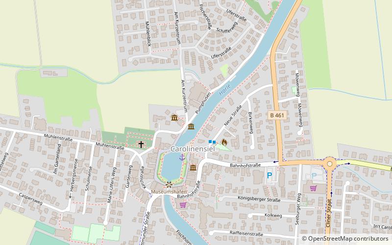
Harlesiel is a resort town on the East Frisian coast of Germany, at the mouth of the Harle River. It lies in the Wittmund district, about 1 kilometre north of Carolinensiel. It is a small town, with a population of 809 in 2009, swelled by some 4800 tourists in season. ()
Location
Lower Saxony
ContactAdd
Social media
Add
Day trips


