Brienner Straße, Munich
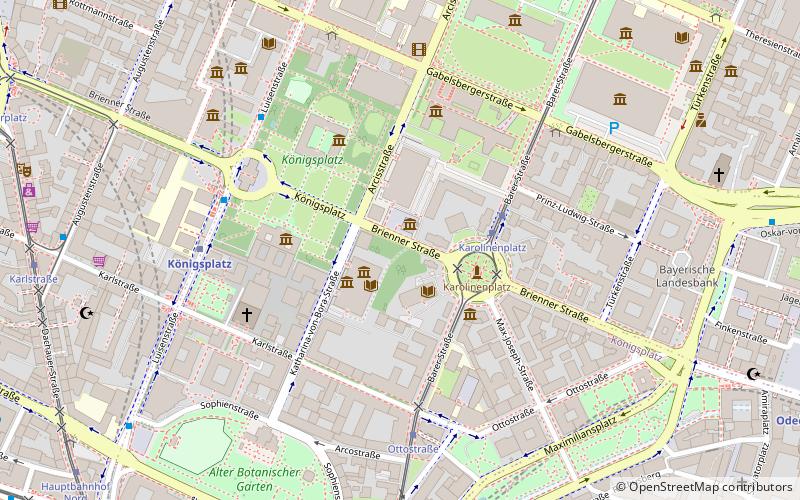
Map
Gallery
Facts and practical information
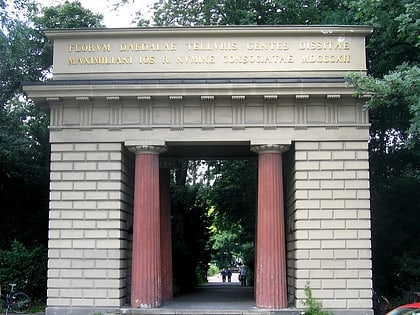
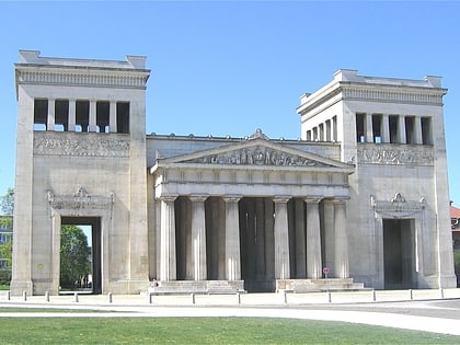
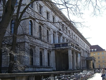
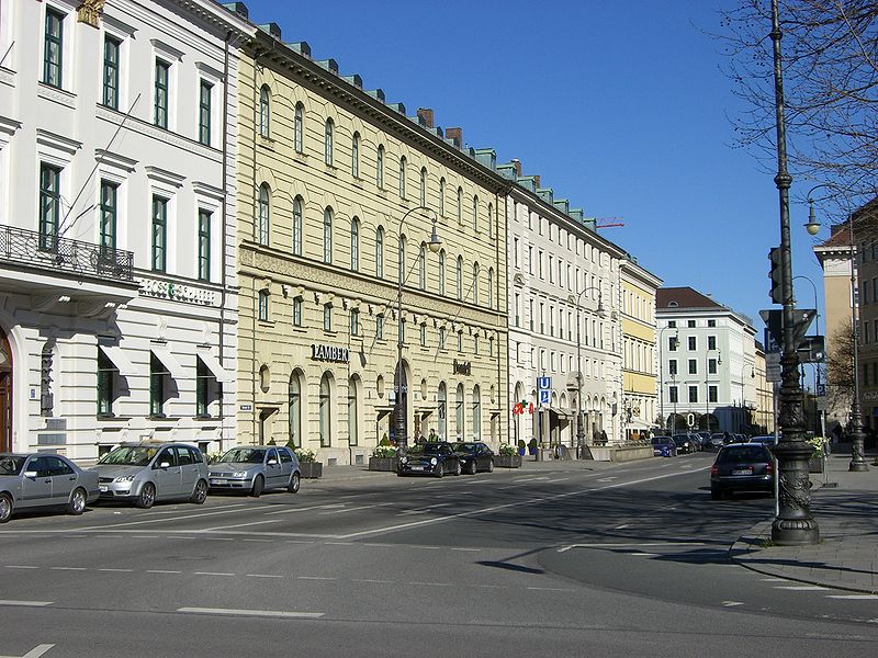
The neoclassical Brienner Straße in Munich is one of four royal avenues next to the Ludwigstraße, the Maximilianstraße and the Prinzregentenstraße. The boulevard was constructed from 1812 onwards, during the reigns of Maximilian I Joseph of Bavaria and his successor Ludwig I, in accordance with a plan by Karl von Fischer and Friedrich Ludwig von Sckell. The avenue is named after the Battle of Brienne. ()
Address
Maxvorstadt (Königsplatz)Munich
ContactAdd
Social media
Add
Day trips
Brienner Straße – popular in the area (distance from the attraction)
Nearby attractions include: Karlsplatz, Alte Pinakothek, Glyptothek, Pinakothek der Moderne.
Frequently Asked Questions (FAQ)
Which popular attractions are close to Brienner Straße?
Nearby attractions include Ns Dokumentationszentrum, Munich (1 min walk), Museum für Abgüsse Klassischer Bildwerke, Munich (2 min walk), Bavarian Center for Transatlantic Relations, Munich (2 min walk), Staatliche Graphische Sammlung München, Munich (2 min walk).
How to get to Brienner Straße by public transport?
The nearest stations to Brienner Straße:
Tram
Bus
Metro
Train
Tram
- Karolinenplatz • Lines: 27, 28, N27 (3 min walk)
- Ottostraße • Lines: 27, 28, N27 (5 min walk)
Bus
- Königsplatz • Lines: 100, 58, 68 (5 min walk)
- Pinakotheken • Lines: 100, 58 (6 min walk)
Metro
- Königsplatz • Lines: U2, U8 (6 min walk)
- Karlsplatz • Lines: U4, U5 (9 min walk)
Train
- Karlsplatz (10 min walk)
- Hauptbahnhof (11 min walk)


