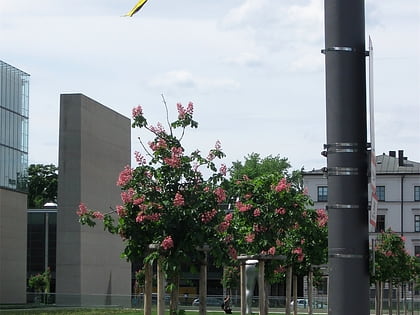
Führerbau, Munich
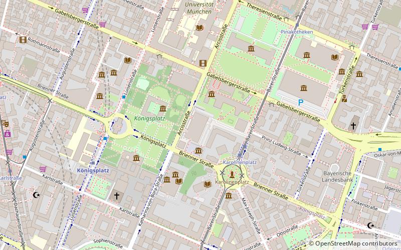
Map
Gallery

Facts and practical information
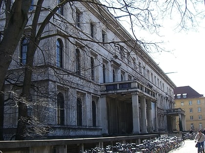
The Führerbau – translated as "the Führer's building" – was built from 1933 to 1937 after the plans of architect Paul Ludwig Troost, at Arcisstrasse 12 in Maxvorstadt, Munich. The first plans were made in 1931. The building was completed three years after Troost's death by Leonhard Gall. ()
Address
Maxvorstadt (Königsplatz)Munich
ContactAdd
Social media
Add
Day trips
Führerbau – popular in the area (distance from the attraction)
Nearby attractions include: Alte Pinakothek, Neue Pinakothek, Glyptothek, Pinakothek der Moderne.
Frequently Asked Questions (FAQ)
Which popular attractions are close to Führerbau?
Nearby attractions include Ns Dokumentationszentrum, Munich (2 min walk), Staatliches Museum Ägyptischer Kunst, Munich (2 min walk), Brienner Straße, Munich (2 min walk), Hochschule für Musik und Theater München, Munich (3 min walk).
How to get to Führerbau by public transport?
The nearest stations to Führerbau:
Tram
Bus
Metro
Train
Tram
- Karolinenplatz • Lines: 27, 28, N27 (3 min walk)
- Ottostraße • Lines: 27, 28, N27 (7 min walk)
Bus
- Pinakotheken • Lines: 100, 58, 68 (7 min walk)
- Königsplatz • Lines: 100, 58, 68 (5 min walk)
Metro
- Königsplatz • Lines: U2, U8 (6 min walk)
- Karlsplatz • Lines: U4, U5 (11 min walk)
Train
- Karlsplatz (12 min walk)
- Hauptbahnhof (13 min walk)


