Neckarinsel, Tübingen
Map
Gallery

Facts and practical information
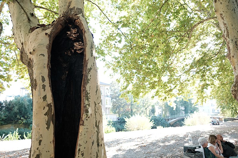
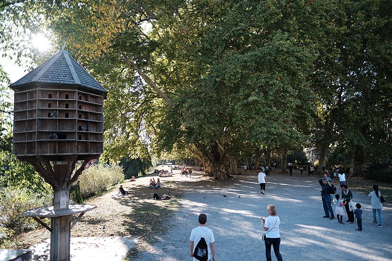
The Neckarinsel in Tübingen, Germany is an artificial, ⅔ mile long Neckar river island, which was created in the years 1910 and 1911 by branching off a parallel channel to regulate the water level of the Neckar river. It extends from the headland west of the Ammertal train bridge, the so-called Bügeleisen, to the Eberhard Bridge. ()
Address
Tübingen
ContactAdd
Social media
Add
Day trips
Neckarinsel – popular in the area (distance from the attraction)
Nearby attractions include: Markt am Nonnenhaus, Stiftskirche Tübingen, Hölderlinturm, Paul Horn-Arena.
Frequently Asked Questions (FAQ)
Which popular attractions are close to Neckarinsel?
Nearby attractions include Anlagensee, Tübingen (3 min walk), Tübinger Stift, Tübingen (4 min walk), Schloß Hohentübingen, Tübingen (4 min walk), City Hall, Tübingen (5 min walk).
How to get to Neckarinsel by public transport?
The nearest stations to Neckarinsel:
Bus
Train
Bus
- Neckarhalde • Lines: 20, 6 (5 min walk)
- Omnibusbahnhof Steig B • Lines: 5 (6 min walk)
Train
- Tübingen Hbf (6 min walk)
- Tübingen West (17 min walk)


