Straße der Pariser Kommune, Berlin
Map
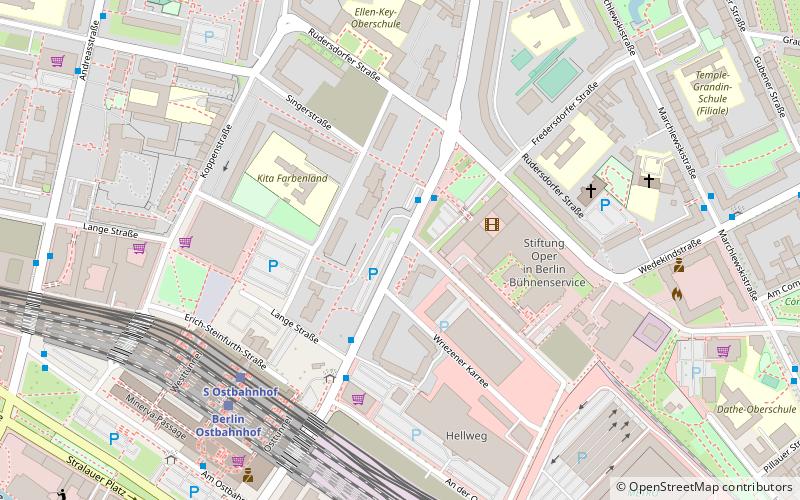
Map

Facts and practical information
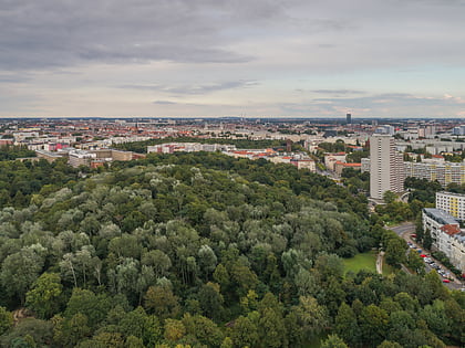
The Straße der Pariser Kommune is a street in Friedrichshain, Berlin, Germany. It was known as Fruchtstraße until March 17, 1971, when it was renamed to commemorate the 100th anniversary of the Paris Commune. ()
Address
Friedrichshain-Kreuzberg (Friedrichshain)Berlin
ContactAdd
Social media
Add
Day trips
Straße der Pariser Kommune – popular in the area (distance from the attraction)
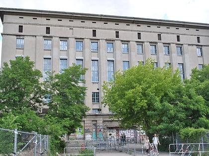
Nearby attractions include: Berghain, East Side Gallery, KitKatClub, Ramones Museum.
Frequently Asked Questions (FAQ)
Which popular attractions are close to Straße der Pariser Kommune?
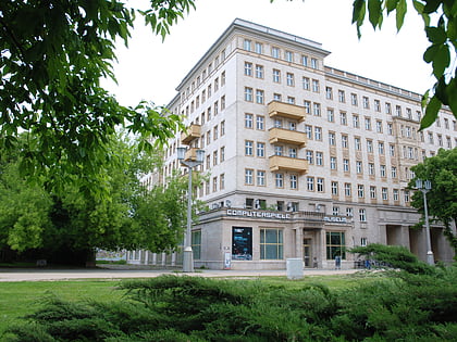
Nearby attractions include Hochhaus an der Weberwiese, Berlin (8 min walk), Statue of Joseph Stalin, Berlin (10 min walk), Computerspielemuseum, Berlin (10 min walk), Karl-Marx-Allee, Berlin (11 min walk).
How to get to Straße der Pariser Kommune by public transport?
The nearest stations to Straße der Pariser Kommune:
Train
Metro
Tram
Bus
Train
- Berlin Ostbahnhof (6 min walk)
- Berlin Alexanderplatz (34 min walk)
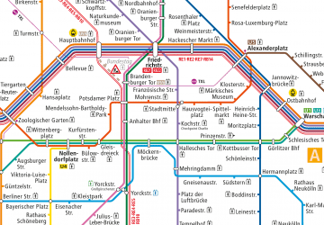
Metro
- U Weberwiese • Lines: U5 (11 min walk)
- U Strausberger Platz • Lines: U5 (13 min walk)
Tram
- Revaler Straße • Lines: M10, M13 (15 min walk)
- Grünberger Straße/Warschauer Straße • Lines: M10 (15 min walk)
Bus
- Alexanderplatz • Lines: 002, 057, 065, 070, 125, 1385, 170, 270, 370, N13, N1385, N232, N44, N70 (33 min walk)

 Metro
Metro