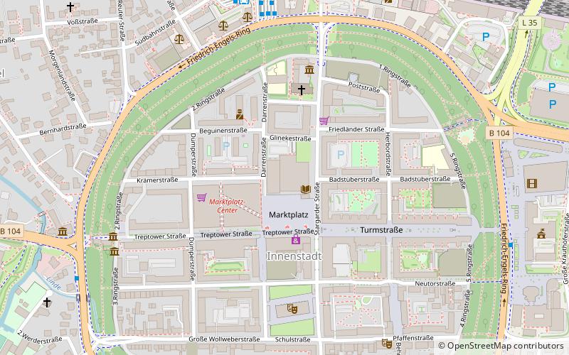
Kulturfinger, Neubrandenburg
Map

Map

Facts and practical information
The Kulturfinger is the nickname of a steel-framed tower built during the days of the communist German Democratic Republic that is the tallest building in Neubrandenburg, Germany. It is part of the Haus der Kultur und Bildung or HKB, the city's cultural institution. ()
Day trips
Kulturfinger – popular in the area (distance from the attraction)
Nearby attractions include: Mary's Church, Neubrandenburg Regional Museum, Treptower Tor, Friedländer Tor.
Frequently Asked Questions (FAQ)
Which popular attractions are close to Kulturfinger?
Nearby attractions include St. Johannis, Neubrandenburg (3 min walk), Fangelturm, Neubrandenburg (4 min walk), Mary's Church, Neubrandenburg (5 min walk), Friedländer Tor, Neubrandenburg (6 min walk).
How to get to Kulturfinger by public transport?
The nearest stations to Kulturfinger:
Bus
Train
Ferry
Bus
- Busbahnhof • Lines: 5 (6 min walk)
- Neubrandenburg ZOB • Lines: 300, 400, 500, 504, 540, 600, datBus (6 min walk)
Train
- Neubrandenburg (7 min walk)
Ferry
- Badehaus • Lines: Linienschiff Rethra (25 min walk)


