Hellern, Osnabrück

Gallery (1)
Map
Map
Facts and practical information
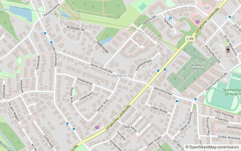
Hellern is a district of Osnabrück with roughly 6,800 residents, located on the western and south-western borders of the city. It is bordered by the Atter, Westernerg, Weststadt, Wüste and Sutthausen districts; on its west and south-west it borders on the municipality of Lotte in North Rhine-Westphalia and also Hasbergen in the surrounding district of Osnabrück. Hellern is located in the valley of the small Düte river. ()
Address
West (Hellem)Osnabrück
ContactAdd
Social media
Add
Getting there by public transportation
Public transportation stops near this location
- Bus
 Bus
Bus
- Calculate routeKleine Schulstraße 4 min walk
- Calculate routeLipper Straße 5 min walk
- Calculate routeGroße Schulstraße 6 min walk
- Calculate routeMasurenstraße 7 min walk
Day trips


Frequently Asked Questions (FAQ)
How to get to Hellern by public transport?
The nearest stations to Hellern:
Bus
Bus
- Kleine Schulstraße • Lines: 401, M4, N4, X492, X493 (4 min walk)
- Lipper Straße • Lines: 160 (5 min walk)