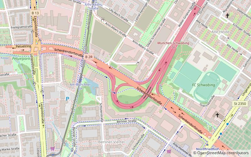
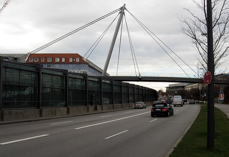
Schenkendorfstraße, Munich

Gallery (3)
Map
Map
Gallery
Facts and practical information
The Schenkendorfstraße is a four- to ten-lane section of the Mittlerer Ring in Munich. ()
Address
Schwabing - Freimann (Alte Heide - Hirschau)Munich
ContactAdd
Social media
Add
Getting there by public transportation
Public transportation stops near this location
- Metro
- Bus
- Tram
- Train
 Metro
Metro
- Calculate routeAm Münchner Tor 4 min walk
- Calculate routeAnni-Albers-Straße 7 min walk
- Calculate routeSchwabinger Tor 9 min walk
- Calculate routeParzivalplatz 11 min walk
- Calculate routeWilhelm-Hertz-Straße 8 min walk
- Calculate routeFreiligrathstraße 8 min walk
- Calculate routeNordfriedhof 9 min walk
- Calculate routeMünchen Nord / Schwabing 9 min walk
- Calculate routeNordfriedhof 9 min walk
- Calculate routeAlte Heide 14 min walk
- Calculate routeDietlindenstraße 16 min walk
- Calculate routeBonner Platz 23 min walk
- Calculate routeDietlindenstraße 16 min walk
Day trips


Frequently Asked Questions (FAQ)
Which popular attractions are close to Schenkendorfstraße?
Nearby attractions include Highlight Towers, Munich (2 min walk), Nordfriedhof, Munich (14 min walk), Petuelpark, Munich (15 min walk), Schwabing, Munich (18 min walk).
How to get to Schenkendorfstraße by public transport?
The nearest stations to Schenkendorfstraße:
Tram
Bus
Metro
Train
Tram
- Am Münchner Tor • Lines: 23 (4 min walk)
- Anni-Albers-Straße • Lines: 23 (7 min walk)
Bus
- Wilhelm-Hertz-Straße • Lines: 140, 141, N40 (8 min walk)
- Freiligrathstraße • Lines: 140, 141, N40 (8 min walk)
Metro
- Nordfriedhof • Lines: U6 (9 min walk)
- Alte Heide • Lines: U6 (14 min walk)
Train
- Dietlindenstraße (16 min walk)