Gropiusstadt
#2834 among destinations in Germany
![Gropiusstadt location map](https://tzmedia.b-cdn.net/media/images/static-maps/de/52_42495_13_46618.jpg)
Facts and practical information
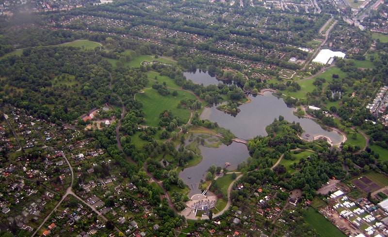
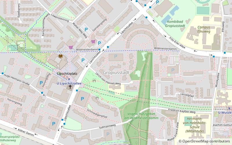
Gropiusstadt is a locality within the Berlin borough of Neukölln. It was named after the architect who projected the complex: Walter Gropius. ()
Gropiusstadt – popular in the area (distance from the attraction)
Nearby attractions include: Dokumentationszentrum NS-Zwangsarbeit, Britzer Garten, Schloss Britz, Späth-Arboretum.
2.9 miNEMuseum, Nazi architectureDokumentationszentrum NS-Zwangsarbeit
75 min walk • The Dokumentationszentrum NS-Zwangsarbeit in Berlin, Germany, stands as a poignant testament to the dark history of forced labor during the National Socialist regime. This history museum is dedicated to preserving the memory of the millions who were coerced into...
2 miWAmusement park, Park, GardenBritzer Garten, Berlin
51 min walk • The Britzer Garten is a large park in Berlin, named after Britz, a neighborhood of the borough of Neukölln. It was constructed for the Bundesgartenschau 1985, in order to provide a new landscape park to the citizens in the southeast of West-Berlin, who were at that time cut off from the surrounding countryside.
1.9 miNWMuseum, History museum, New objectivity architectureSchloss Britz, Berlin
50 min walk • The Schloss Britz is the former manor-house of the historical Rittergut and village Britz, now a district of Berlin-Neukölln. Today it is the headquarters of the cultural organization Kulturstiftung Schloss Britz and includes authentic reconstructed rooms from around 1880.
2.1 miNBotanical garden, ParkSpäth-Arboretum, Berlin
54 min walk • The Späth-Arboretum is an arboretum now maintained by the Humboldt University of Berlin. It is located at Späthstraße 80/81, Berlin, Germany, and open several days per week in the warmer months.
2.5 miNCanalBritz Canal, Berlin
63 min walk • The Britz Canal, or Britzer Verbindungskanal in German, is a 3.4-kilometre long canal in Berlin, Germany. The canal was built between 1900 and 1906, and was previously known as the Britz Branch Canal or Britzer Zweigkanal.
2.5 miNParkBlub, Berlin
63 min walk • Blub, short for Berliner Luft- und Badeparadies, was a water park in the Britz area of Neukölln district in Berlin, Germany. First opened in 1985, it was shut down in 2002 following health concerns, and the 3.5-hectare site fell into disrepair.
3.2 miNWParkVolkspark Mariendorf, Berlin
83 min walk • The Volkspark Mariendorf is a park located in the Mariendorf part of Berlin's borough Tempelhof-Schöneberg, and was built in 1924. It covers approximately 13 hectares. The landscape architect was Ernst A. Harrich.
1.8 miNW , New objectivity architectureBerlin Modernism Housing Estates, Berlin
45 min walk • Berlin Modernism Housing Estates is a World Heritage Site designated in 2008, comprising six separate subsidized housing estates in Berlin.
1.7 miNW New objectivity architecture,Hufeisensiedlung, Berlin
44 min walk • The Hufeisensiedlung is a housing estate in Berlin, built in 1925–33. It was designed by architect Bruno Taut, municipal planning head and co-architect Martin Wagner, garden architect Leberecht Migge and Neukölln gardens director Ottokar Wagler. In 1986 the ensemble was placed under German heritage protection.
3.3 miSEAreaSchönefeld, Berlin
86 min walk • Schönefeld is a suburban municipality in the Dahme-Spreewald district, Brandenburg, Germany. It borders the southeastern districts of Berlin. The municipal area encompasses the old Berlin Schönefeld Airport and the new Berlin Brandenburg Airport.
1.8 miNWNeighbourhoodBritz, Berlin
47 min walk • Britz is a German locality within the Berlin borough of Neukölln.