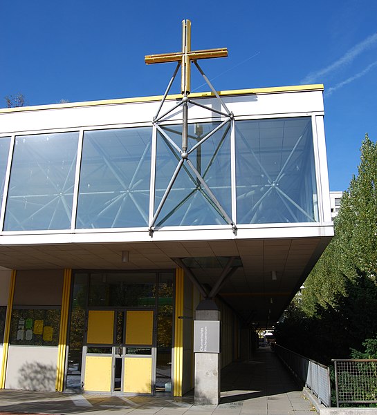
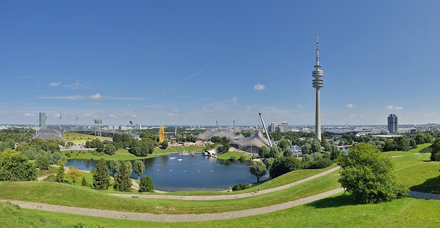
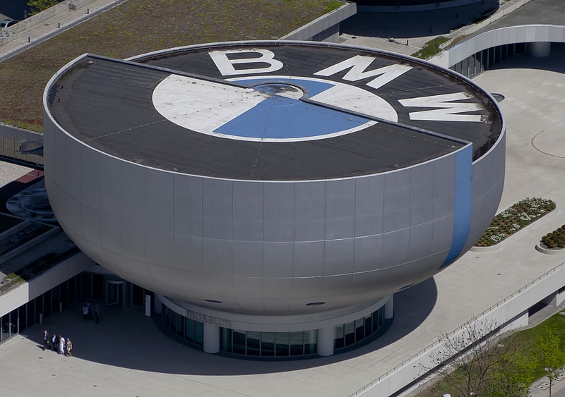
Helene-Mayer-Ring, Munich

Gallery (2)
Map
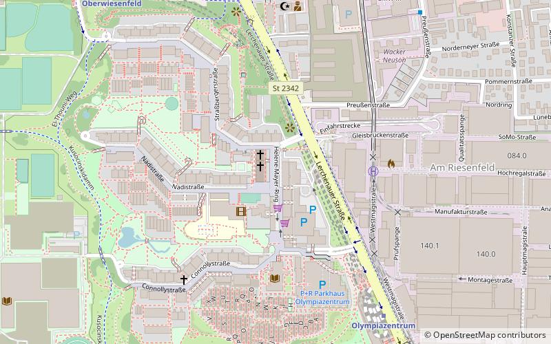
Map
Gallery
Facts and practical information
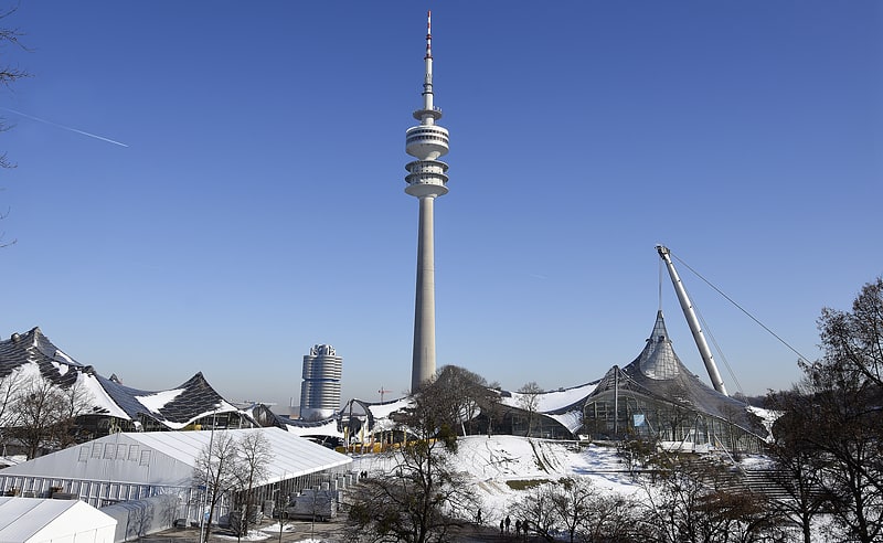
The Helene-Mayer-Ring is a street in the Olympic Village of the Olympic Park Munich in Munich, Germany. ()
Address
Milbertshofen-Am Hart (Am Riesenfeld)Munich
ContactAdd
Social media
Add
Getting there by public transportation
Public transportation stops near this location
- Metro
- Bus
- Tram
 Metro
Metro
- Calculate routeOlympiazentrum 7 min walk
- Calculate routeOberwiesenfeld 9 min walk
- Calculate routePetuelring 20 min walk
- Calculate routeMilbertshofen 25 min walk
- Calculate routeLerchenauer Straße 7 min walk
- Calculate routeOlympiazentrum 8 min walk
- Calculate routePreußenstraße 9 min walk
- Calculate routeOberwiesenfeld 11 min walk
- Calculate routePetuelring 21 min walk
- Calculate routeGartenstraße 23 min walk
- Calculate routeAckermannstraße 30 min walk
- Calculate routeScheidplatz 31 min walk
Day trips


Frequently Asked Questions (FAQ)
Which popular attractions are close to Helene-Mayer-Ring?
Nearby attractions include Lerchenauer Straße, Munich (4 min walk), Connollystraße, Munich (5 min walk), Studentenviertel Oberwiesenfeld, Munich (6 min walk), Nadisee, Munich (6 min walk).
How to get to Helene-Mayer-Ring by public transport?
The nearest stations to Helene-Mayer-Ring:
Metro
Bus
Tram
Metro
- Olympiazentrum • Lines: U3, U8 (7 min walk)
- Oberwiesenfeld • Lines: U3 (9 min walk)
Bus
- Lerchenauer Straße • Lines: 173, 180, 50, N76 (7 min walk)
- Olympiazentrum • Lines: 173, 180, N76 (8 min walk)
Tram
- Petuelring • Lines: 27, N27 (21 min walk)
- Gartenstraße • Lines: 27, N27 (23 min walk)