Theatinerstraße, Munich
Map
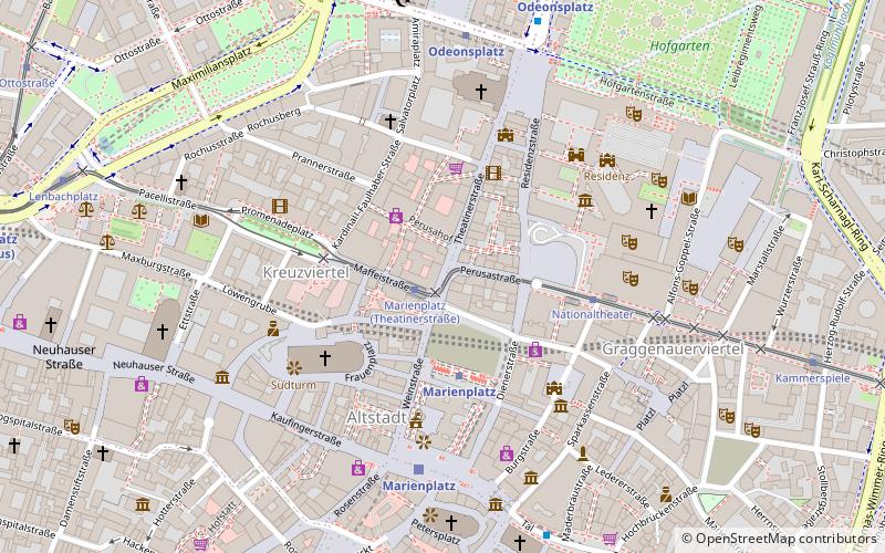
Map

Facts and practical information
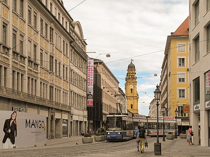
The Theatinerstraße is a street in Munich's old town. It connects the Odeonsplatz with the southern lying Marienhof and houses a number of classical buildings and several shops. The street received its name due to the adjoining Theatinerkirche; it used to be called Hintere Schwabinger Gasse. ()
Address
Altstadt - Lehel (Altstadt)Munich
ContactAdd
Social media
Add
Day trips
Theatinerstraße – popular in the area (distance from the attraction)
Nearby attractions include: Munich Residenz, Christkindlmarkt at Marienplatz, Frauenkirche, Mariensäule.
Frequently Asked Questions (FAQ)
Which popular attractions are close to Theatinerstraße?
Nearby attractions include Arco-Palais, Munich (1 min walk), Palais Porcia, Munich (3 min walk), Max-Joseph-Platz, Munich (3 min walk), Kardinal-Faulhaber-Straße, Munich (3 min walk).
How to get to Theatinerstraße by public transport?
The nearest stations to Theatinerstraße:
Tram
Metro
Train
Bus
Tram
- Marienplatz • Lines: 19, 21, N19 (1 min walk)
- Nationaltheater • Lines: 19, 21, N19 (4 min walk)
Metro
- Marienplatz • Lines: U3, U6 (3 min walk)
- Odeonsplatz • Lines: U3, U4, U5, U6 (7 min walk)
Train
- Marienplatz (5 min walk)
- Karlsplatz (13 min walk)
Bus
- Odeonsplatz • Lines: 100, 153, N40, N41, N45 (7 min walk)
- Marienplatz • Lines: 132, 52, 62 (8 min walk)
