Wiesbaden-Westend, Wiesbaden

Gallery (2)
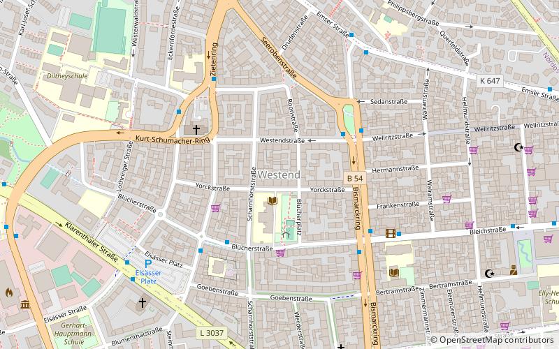
Map

Map
Gallery
Facts and practical information
Address
Westend - Bleichstraße (Westend)Wiesbaden
ContactAdd
Social media
Add
Getting there by public transportation
Public transportation stops near this location
- Bus
- Train
 Bus
Bus
- Calculate routeSedanplatz 3 min walk
- Calculate routeGneisenaustraße 4 min walk
- Calculate routeBleichstraße 4 min walk
- Calculate routeNerotal 23 min walk
- Calculate routeNeroberg 29 min walk
- Calculate routeWiesbaden-Dotzheim 29 min walk
- Calculate routeWiesbaden Hauptbahnhof 29 min walk
Day trips


Frequently Asked Questions (FAQ)
Which popular attractions are close to Wiesbaden-Westend?
Nearby attractions include Ringkirche, Wiesbaden (9 min walk), Frauen Museum Wiesbaden, Wiesbaden (9 min walk), Wiesbaden-Rheingauviertel, Wiesbaden (11 min walk), Gedenkstätte Alte Synagoge, Wiesbaden (12 min walk).
How to get to Wiesbaden-Westend by public transport?
The nearest stations to Wiesbaden-Westend:
Bus
Train
Bus
- Sedanplatz • Lines: 1, N5 (3 min walk)
- Gneisenaustraße • Lines: 14, 2, 275, N4, X76 (4 min walk)
Train
- Nerotal (23 min walk)
- Neroberg (29 min walk)