Goldschmiedplatz, Munich

Gallery (4)
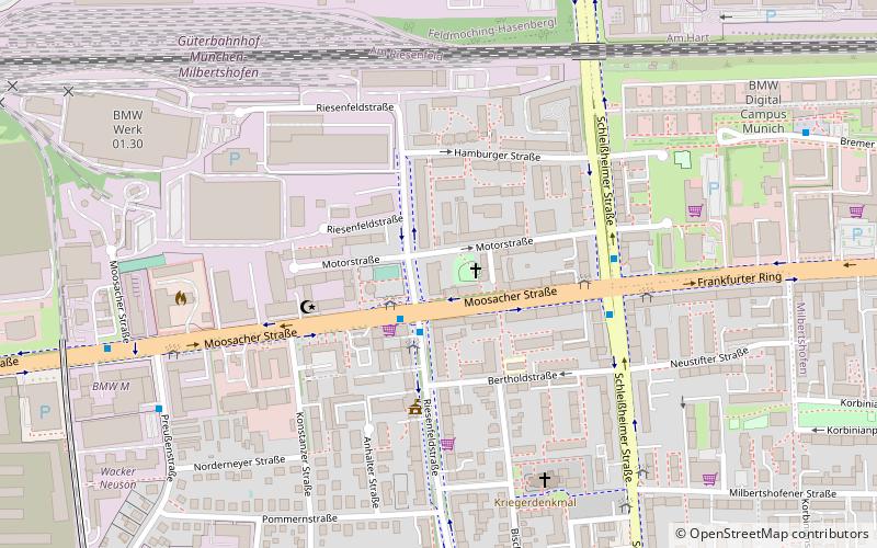
Map

Map
Gallery
Facts and practical information
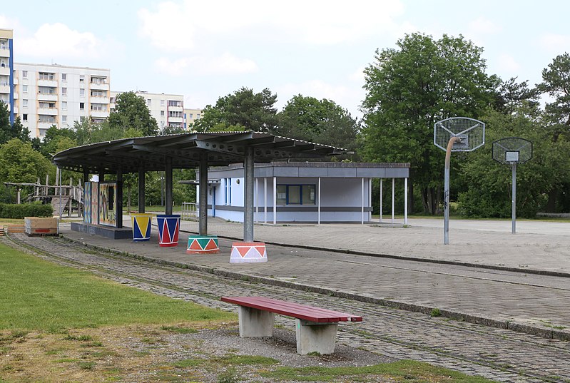
The Goldschmiedplatz is a 2.31-hectare urban open space at the northern end of Schleißheimer Straße in Munich's Hasenbergl district. It was originally a combined bus and train stop and is now a meeting place for residents and activity area. The founding family Goldschmied from the 14th century gave the square its name. ()
Address
Milbertshofen-Am Hart (Am Hart)Munich
ContactAdd
Social media
Add
Getting there by public transportation
Public transportation stops near this location
- Metro
- Bus
- Train
 Metro
Metro
- Calculate routeAschenbrennerstraße 3 min walk
- Calculate routeStösserstraße 6 min walk
- Calculate routeStanigplatz 12 min walk
- Calculate routeDülferstraße 12 min walk
- Calculate routeDülferstraße 12 min walk
- Calculate routeHasenbergl 14 min walk
- Calculate routeFeldmoching 27 min walk
- Calculate routeHarthof 28 min walk
- Calculate routeFeldmoching 27 min walk
Day trips


Frequently Asked Questions (FAQ)
How to get to Goldschmiedplatz by public transport?
The nearest stations to Goldschmiedplatz:
Bus
Metro
Train
Bus
- Aschenbrennerstraße • Lines: 60, N41, N76 (3 min walk)
- Stösserstraße • Lines: 60, N41, N76 (6 min walk)
Metro
- Dülferstraße • Lines: U2 (12 min walk)
- Hasenbergl • Lines: U2 (14 min walk)
Train
- Feldmoching (27 min walk)