Hotel Luxor, Hamburg
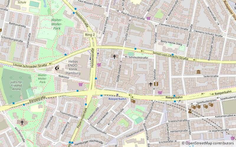
Map
Map

Facts and practical information
Coordinates: 53°33'2"N, 9°57'27"E
Address
Altona (Altona-Altstadt)Hamburg
ContactAdd
Social media
Add
Day trips
Hotel Luxor – popular in the area (distance from the attraction)
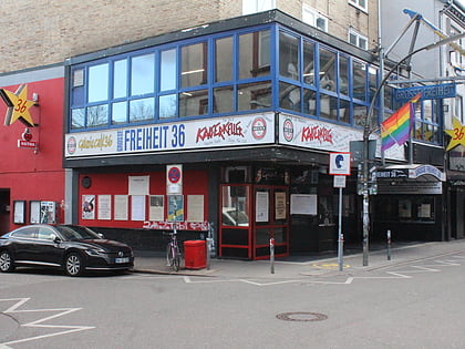
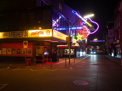
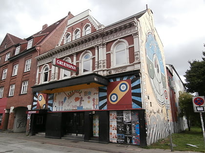
Nearby attractions include: Große Freiheit 36, Kaiserkeller, St. Pauli, Gruenspan.
Frequently Asked Questions (FAQ)
Which popular attractions are close to Hotel Luxor?
Nearby attractions include Große Freiheit, Hamburg (1 min walk), Beatles-Platz, Hamburg (2 min walk), Reeperbahn, Hamburg (4 min walk), Hans-Albers-Platz, Hamburg (5 min walk).
How to get to Hotel Luxor by public transport?
The nearest stations to Hotel Luxor:
Light rail
Bus
Ferry
Metro
Train
Light rail
- Reeperbahn • Lines: S1, S2, S3 (2 min walk)
- Königstraße • Lines: S1, S2, S3 (15 min walk)
Bus
- S Reeperbahn • Lines: 111, 112, 115, 16, 601, 607, 608, 609, 610, 641, 688 (3 min walk)
- Große Freiheit • Lines: 601, 607, 608, 610, 641, 688 (3 min walk)
Ferry
- St. Pauli-Landungsbrücken • Lines: FRS HanseFerry (12 min walk)
- Altona • Lines: 61, 62 (13 min walk)
Metro
- St. Pauli • Lines: U3 (14 min walk)
- Feldstraße • Lines: U3 (17 min walk)
Train
- Hamburg-Altona (25 min walk)

