Stahlstraße, Essen
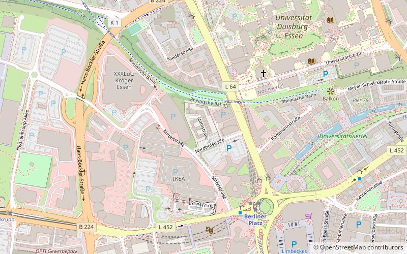
Map
Facts and practical information
The Stahlstraße is a street in the western district of Essen Germany. It is the city's red-light district. Stahlstraße is a dead end has a privacy screen across its entrance. It is located northwest of the city centre, about 200 metres southwest of the University of Duisburg-Essen and 300 metres northwest of the Limbecker Platz shopping centre. ()
Address
Stadtmitte - Frillendorf - Huttrop (Westviertel)Essen
ContactAdd
Social media
Add
Day trips
Stahlstraße – popular in the area (distance from the attraction)
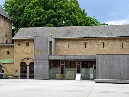
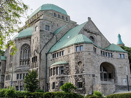
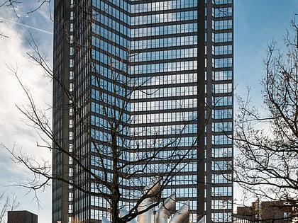
Nearby attractions include: Lichtburg, Essen Cathedral Treasury, Alte Synagoge, Philharmonie Essen.
Frequently Asked Questions (FAQ)
Which popular attractions are close to Stahlstraße?
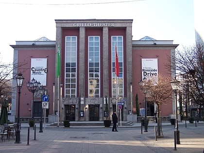
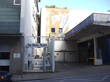
Nearby attractions include Colosseum Theater, Essen (5 min walk), University of Duisburg-Essen, Essen (6 min walk), Das Kleine Theater Essen, Essen (9 min walk), Tiegelstahlgussdenkmal, Essen (10 min walk).
How to get to Stahlstraße by public transport?
The nearest stations to Stahlstraße:
Bus
Tram
Metro
Train
Bus
- Berliner Platz • Lines: 145, 166, Ne10, Ne11, Ne12, Ne16, Sb16 (5 min walk)
Tram
- Berliner Platz • Lines: 101, 103, 105, 106, 109 (5 min walk)
- Rheinischer Platz • Lines: 101, 103, 105, 106, 109 (10 min walk)
Metro
- Berliner Platz • Lines: U11, U17, U18 (5 min walk)
- Universität Essen • Lines: U11, U17 (9 min walk)
Train
- Essen Hauptbahnhof (23 min walk)
- Essen West (27 min walk)
