Hamburg-Mitte, Hamburg
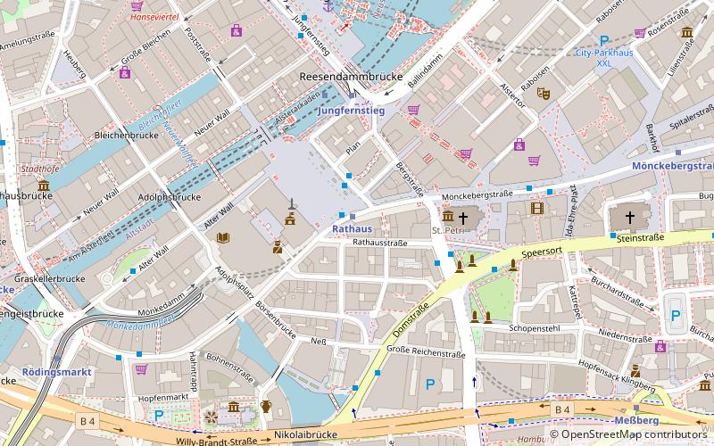
Map
Facts and practical information
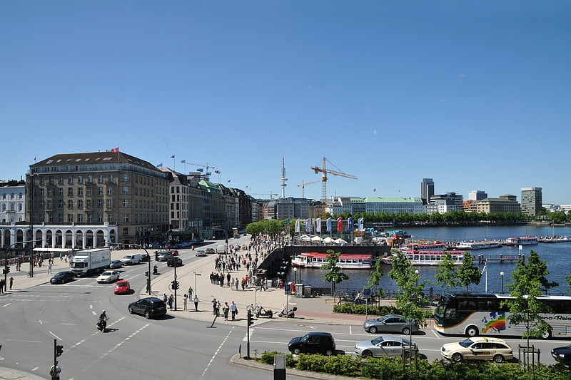
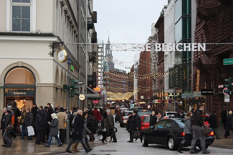
Hamburg-Mitte is one of the seven boroughs of Hamburg, Germany, covering most of the city's urban center. The quarters of Hamburg-Altstadt and Neustadt cover much of the city's historic core. In 2020 the population was 301,231. ()
Address
Hamburg-Mitte (Hamburg-Altstadt)Hamburg
ContactAdd
Social media
Add
Getting there by public transportation
Public transportation stops near this location
- Metro
- Bus
- Light rail
- Train
- Ferry
 Metro
Metro
- Calculate routeRathaus 1 min walk
- Calculate routeJungfernstieg 5 min walk
- Calculate routeRathausmarkt 1 min walk
- Calculate routeSpeersort 4 min walk
- Calculate routeDomstraße 4 min walk
- Calculate routeJungfernstieg 4 min walk
- Calculate routeStadthausbrücke 10 min walk
- Calculate routeHamburg Hauptbahnhof 15 min walk
- Calculate routeJungfernstieg 6 min walk
- Calculate routeAtlantic 18 min walk
- Calculate routeRabenstraße 32 min walk
- Calculate routeHamburg Central Station 14 min walk
- Calculate routeHamburg Dammtor / Universität 20 min walk
Day trips


Frequently Asked Questions (FAQ)
Which popular attractions are close to Hamburg-Mitte?
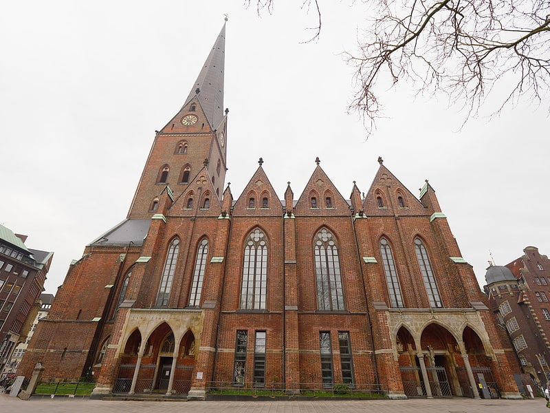
Nearby attractions include Rathausmarkt, Hamburg (2 min walk), City Hall, Hamburg (2 min walk), Church of Saint Peter, Hamburg (3 min walk), Bucerius Kunst Forum, Hamburg (3 min walk).
How to get to Hamburg-Mitte by public transport?
The nearest stations to Hamburg-Mitte:
Metro
Bus
Light rail
Ferry
Train
Metro
- Rathaus • Lines: U3 (1 min walk)
- Jungfernstieg • Lines: U1, U2, U4 (5 min walk)
Bus
- Rathausmarkt • Lines: 19, 3, 4, 5, 601, 602, 603, 604, 605, 606, 607, 608, 609, 610, 640, 641, 688, X35, X80 (1 min walk)
- Speersort • Lines: 16, 17, 3, 4, 6, 602, X3, X35 (4 min walk)
Light rail
- Jungfernstieg • Lines: S1, S2, S3 (4 min walk)
- Stadthausbrücke • Lines: S1, S2, S3 (10 min walk)
Ferry
- Jungfernstieg • Lines: Alsterkreuzfahrt (6 min walk)
- Atlantic • Lines: Alsterkreuzfahrt (18 min walk)
Train
- Hamburg Central Station (14 min walk)
- Hamburg Dammtor / Universität (20 min walk)