Offenbach-Rosenhöhe, Offenbach

Map
Facts and practical information
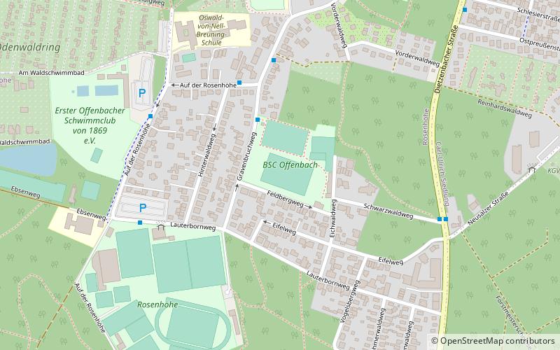
Rosenhöhe is one of the 21 boroughs of Offenbach am Main, Germany. It is the city's southernmost borough and the second smallest by population with only 1,396 inhabitants. Until 2019 it was one of the nine officially recognized boroughs. When in July 2019 the city council approved a bill to fully divide the city's area into boroughs, Rosenhöhe became the second largest by area after Bieber. The total area is 7,08 km2. ()
Address
Offenbach
ContactAdd
Social media
Add
Day trips
Offenbach-Rosenhöhe – popular in the area (distance from the attraction)
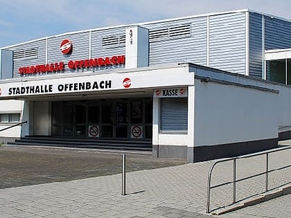
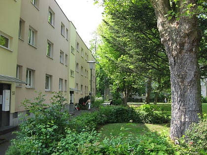
Nearby attractions include: Stadthalle Offenbach, RING CENTER Offenbach, Wetterpark, Offenbach-Lauterborn.
Frequently Asked Questions (FAQ)
Which popular attractions are close to Offenbach-Rosenhöhe?
Nearby attractions include Stadthalle Offenbach, Offenbach (20 min walk), Offenbach-Lauterborn, Offenbach (20 min walk).
How to get to Offenbach-Rosenhöhe by public transport?
The nearest stations to Offenbach-Rosenhöhe:
Bus
Bus
- BSC-Sportplatz • Lines: 105 (3 min walk)
- Gravenbruchweg • Lines: 105 (4 min walk)


