Heidelberg-Südstadt, Heidelberg
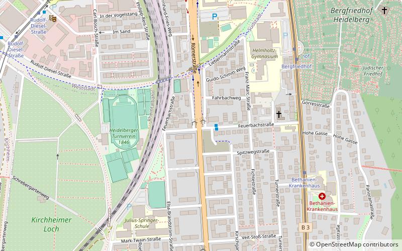
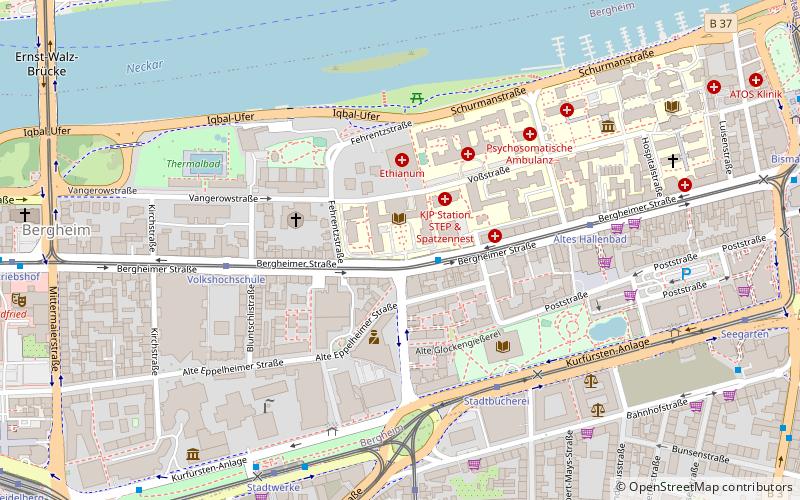
Map
Facts and practical information
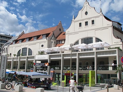
Heidelberg-Südstadt is a district of the city of Heidelberg in Baden-Württemberg, Germany. It is a relatively young district and was established after World War 2, by extending the Weststadt district to the south, and the Rohrbach district to the north. Today, it houses about 4,400 citizens. Südstadt is the second-smallest district of Heidelberg by population, after Schlierbach. ()
Address
Heidelberg
ContactAdd
Social media
Add
Day trips
Heidelberg-Südstadt – popular in the area (distance from the attraction)
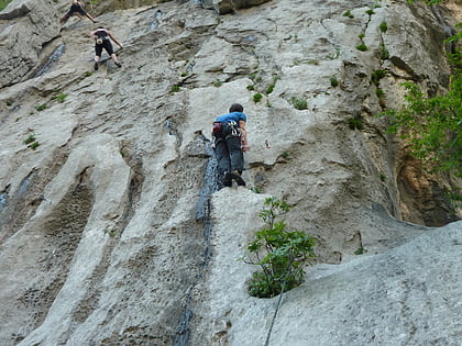
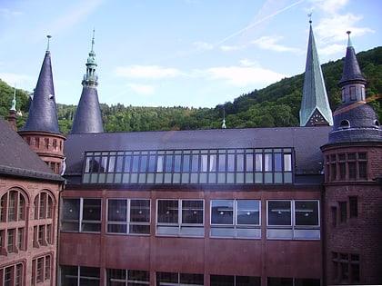
Nearby attractions include: Riesenstein - Kakerlakenhockerwand, Prinzhorn Collection, Dokumentations- und Kulturzentrum Deutscher Sinti und Roma, Kurpfälzisches Museum.
Frequently Asked Questions (FAQ)
Which popular attractions are close to Heidelberg-Südstadt?
Nearby attractions include Bergfriedhof, Heidelberg (7 min walk), Ehrenfriedhof, Heidelberg (14 min walk), St. Bonifatius, Heidelberg (19 min walk), Eichendorffplatz, Heidelberg (20 min walk).
How to get to Heidelberg-Südstadt by public transport?
The nearest stations to Heidelberg-Südstadt:
Bus
Tram
Train
Ferry
Bus
- Feuerbachstraße • Lines: 29, 757 (1 min walk)
Tram
- Bethanien-Krankenhaus • Lines: 23, 24 (6 min walk)
- Bergfriedhof • Lines: 23, 24 (6 min walk)
Train
- Heidelberg-Weststadt/Südstadt (9 min walk)
- Heidelberg Hauptbahnhof (22 min walk)
Ferry
- Marriott Hotel • Lines: Neckarfähre (33 min walk)
