Belgradstraße, Munich
Map
Gallery
Facts and practical information
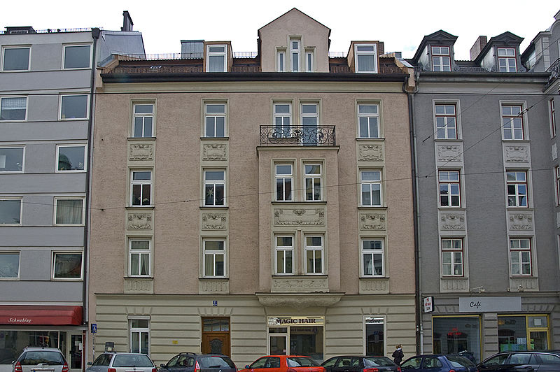
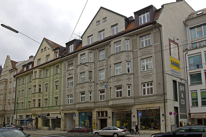
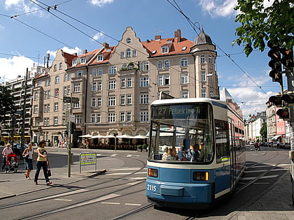
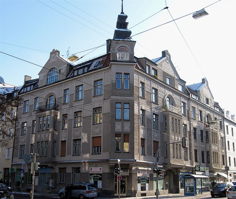
The Belgradstraße is a 2.0-kilometer-long street in Munich's Schwabing district. It runs in a south-north direction between Kurfürstenplatz and Petuelpark, where it merges into Knorrstraße. The street was named after the Serbian capital Belgrade. ()
Address
Schwabing - West (Am Luitpoldpark)Munich
ContactAdd
Social media
Add
Day trips
Belgradstraße – popular in the area (distance from the attraction)
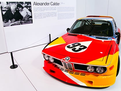
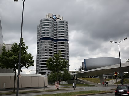
Nearby attractions include: BMW Museum, Hohenzollernstraße, Feilitzschstraße, Petuelpark.
Frequently Asked Questions (FAQ)
Which popular attractions are close to Belgradstraße?
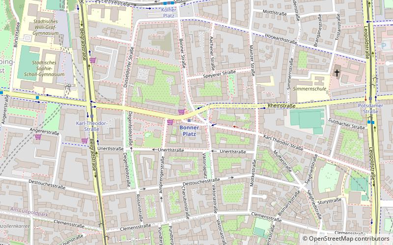
Nearby attractions include Luitpoldhügel, Munich (7 min walk), Bonner Platz, Munich (8 min walk), Clemensstraße, Munich (10 min walk), Herzogstraße, Munich (12 min walk).
How to get to Belgradstraße by public transport?
The nearest stations to Belgradstraße:
Bus
Tram
Metro
Train
Bus
- Scheidplatz Süd • Lines: 140, 141, 144, N41 (3 min walk)
- Angererstraße • Lines: 144 (5 min walk)
Tram
- Karl-Theodor-Straße • Lines: 12, 28 (5 min walk)
- Scheidplatz • Lines: 12, 28 (5 min walk)
Metro
- Scheidplatz • Lines: U2, U3, U8 (5 min walk)
- Bonner Platz • Lines: U3 (7 min walk)
Train
- Dietlindenstraße (21 min walk)


