Schwere-Reiter-Straße, Munich
Map
Gallery
Facts and practical information
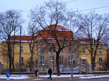
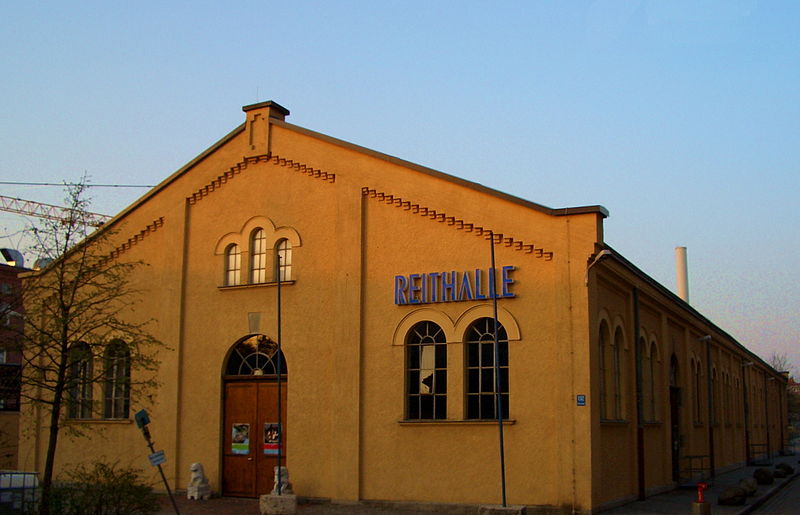
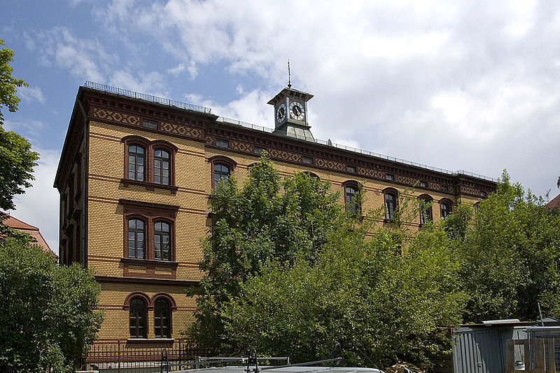
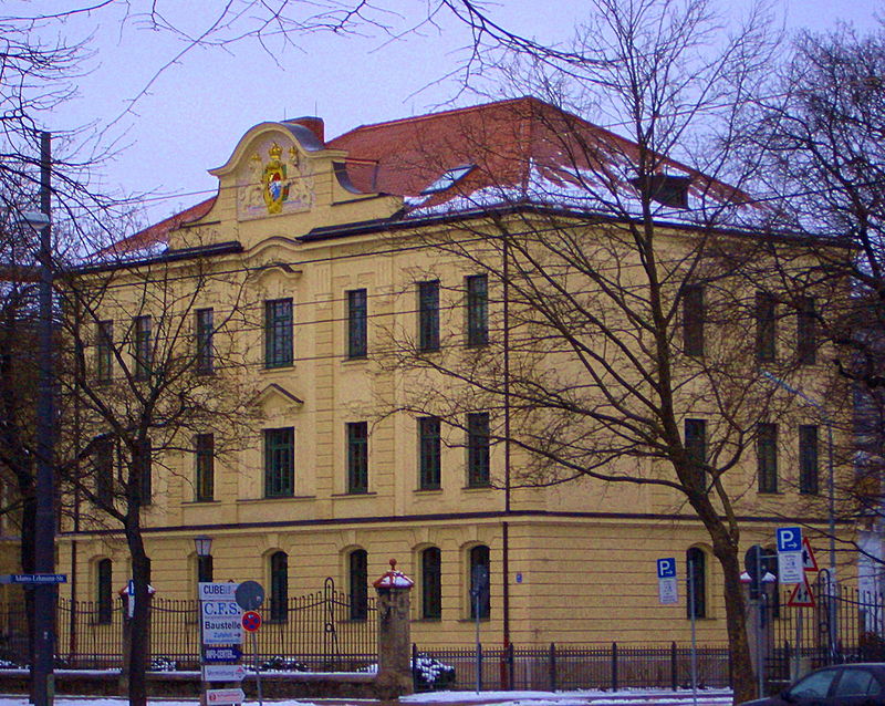
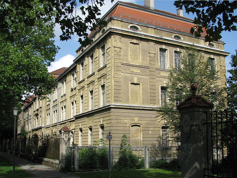
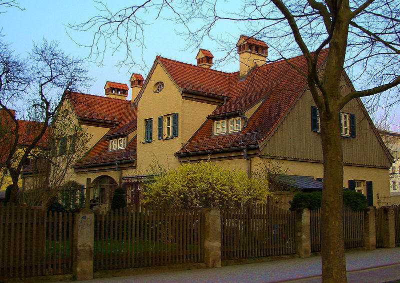
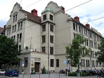
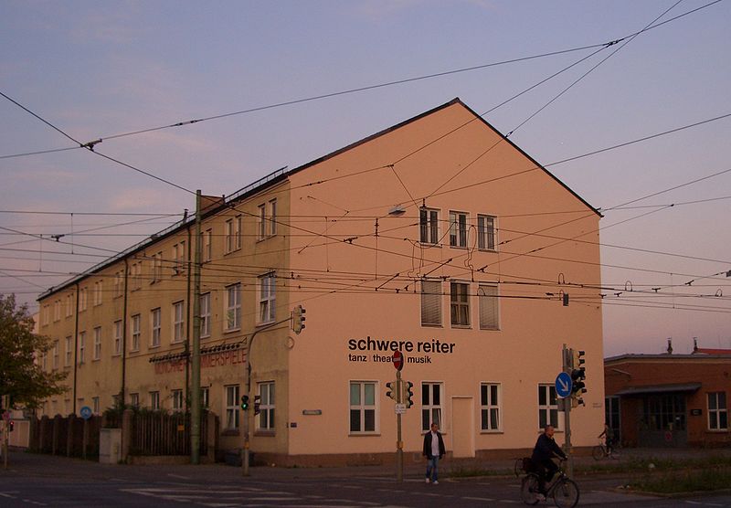
The Schwere-Reiter-Straße is a 1.2 km long street in Munich's Schwabing-West district in the Oberwiesenfeld area. It leads from Leonrodplatz to the Hohenzollernstraße on the corner of Winzererstraße, where it branches off to the north of the Ackermannstraße. ()
Address
Schwabing - West (Schwere-Reiter-Straße)Munich
ContactAdd
Social media
Add
Day trips
Schwere-Reiter-Straße – popular in the area (distance from the attraction)
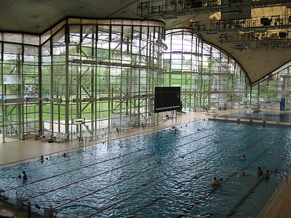
Nearby attractions include: Olympiapark, Hohenzollernstraße, Olympiaturm, Olympia Schwimmhalle.
Frequently Asked Questions (FAQ)
Which popular attractions are close to Schwere-Reiter-Straße?
Nearby attractions include Pathos Transport Theater, Munich (6 min walk), Leonrodplatz, Munich (9 min walk), Winzererstraße, Munich (11 min walk), Lothstraße, Munich (11 min walk).
How to get to Schwere-Reiter-Straße by public transport?
The nearest stations to Schwere-Reiter-Straße:
Tram
Bus
Metro
Tram
- Infanteriestraße • Lines: 12 (1 min walk)
- Barbarastraße • Lines: 12 (6 min walk)
Bus
- Infanteriestraße • Lines: 53, 59, N43, N44 (1 min walk)
- Barbarastraße • Lines: 53, 59, N43, N44 (6 min walk)
Metro
- Hohenzollernplatz • Lines: U2, U8 (19 min walk)
- Josephsplatz • Lines: U2, U8 (20 min walk)
