Saalgasse, Frankfurt
Map

Map

Facts and practical information
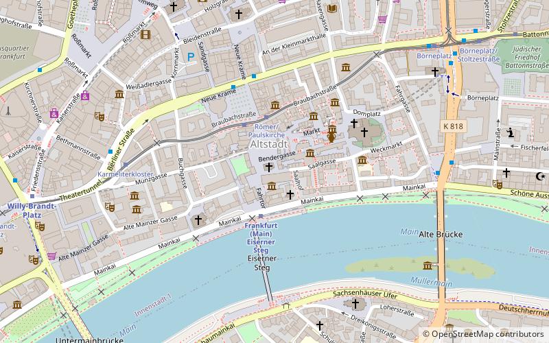
Saalgasse is one of the oldest streets in the Altstadt of Frankfurt am Main. It runs parallel to the bank of the Main. From the Middle Ages to the destruction of the city on 22 March 1944, the Saal, together with the more northerly alte Markt and the central Bendergasse, formed one of the three east-west traffic axes of the Old Town. ()
Address
Innenstadt (Altstadt)Frankfurt
ContactAdd
Social media
Add
Day trips
Saalgasse – popular in the area (distance from the attraction)
Nearby attractions include: Caricatura, Museum Angewandte Kunst, Frankfurt Cathedral, Römer.
Frequently Asked Questions (FAQ)
Which popular attractions are close to Saalgasse?
Nearby attractions include Alte Nikolaikirche, Frankfurt (1 min walk), Römerberg, Frankfurt (1 min walk), Gerechtigkeitsbrunnen, Frankfurt (2 min walk), Historical Museum, Frankfurt (2 min walk).
How to get to Saalgasse by public transport?
The nearest stations to Saalgasse:
Train
Tram
Metro
Bus
Train
- Frankfurt Eiserner Steg (2 min walk)
- Hauptwache (9 min walk)
Tram
- Römer/Paulskirche • Lines: 11, 12, 14, EEx (2 min walk)
- Karmeliterkloster • Lines: 11, 12, 14 (6 min walk)
Metro
- U-Bahn Dom/Römer • Lines: U4, U5 (2 min walk)
- Hauptwache • Lines: U1, U2, U3, U6, U7, U8 (9 min walk)
Bus
- Römer/Paulskirche • Lines: N11, N12, N4, N5 (3 min walk)
- Karmeliterkloster • Lines: N11, N12, N4, N5 (6 min walk)


