Mohrenstraße, Berlin
Map
Gallery
Facts and practical information
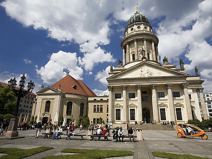
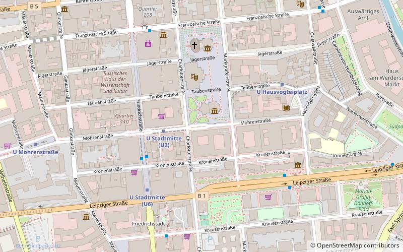
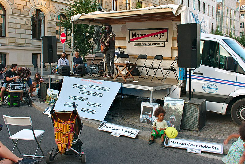
Mohrenstraße is a street in central Berlin. It runs from west to east between Wilhelmstraße and Hausvogteiplatz, and partially forming the southern edge of Gendarmenmarkt. The Berlin U-Bahn station Mohrenstraße is located at its western end, and is served by the. A number of buildings in the street date to the mid-19th century or were reconstructed after World War II, and are protected historic buildings. ()
Address
MitteBerlin
ContactAdd
Social media
Add
Day trips
Mohrenstraße – popular in the area (distance from the attraction)
Nearby attractions include: Friedrichstraße, Gendarmenmarkt, Checkpoint Charlie Museum, Berlin State Opera.
Frequently Asked Questions (FAQ)
Which popular attractions are close to Mohrenstraße?
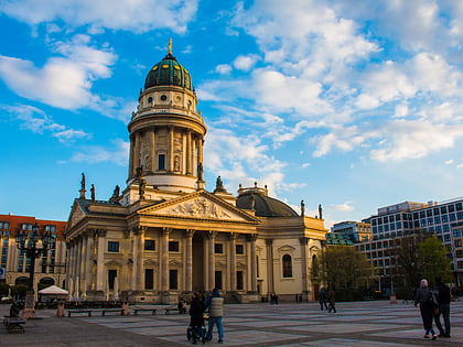
Nearby attractions include Deutscher Dom, Berlin (1 min walk), Französisches Komödienhaus, Berlin (3 min walk), Schiller Monument, Berlin (3 min walk), Gendarmenmarkt, Berlin (3 min walk).
How to get to Mohrenstraße by public transport?
The nearest stations to Mohrenstraße:
Metro
Tram
Train
Bus
Metro
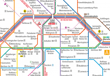
- U Stadtmitte • Lines: U2, U6 (3 min walk)
- U Hausvogteiplatz • Lines: U2 (5 min walk)
Tram
- Universitätsstraße • Lines: 12, M1 (12 min walk)
- Am Kupfergraben • Lines: 12, M1 (13 min walk)
Train
- Berlin Friedrichstraße (15 min walk)
- Berlin Potsdamer Platz (19 min walk)
Bus
- Alexanderplatz • Lines: 002, 057, 065, 070, 125, 1385, 170, 270, 370, N13, N1385, N232, N44, N70 (31 min walk)

 Metro
Metro


