Waldstadt, Karlsruhe

Map
Facts and practical information
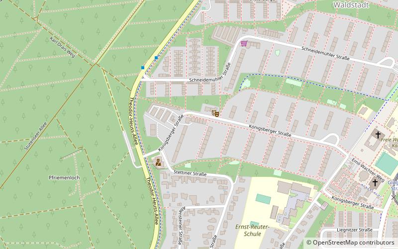
Waldstadt is a district of Karlsruhe. The district was built in 1957 as a new residential area in the Hardtwald in the north of the Karlsruhe city center. As of 2020, around 12,200 people live in Waldstadt. ()
Address
Karlsruhe (Waldstadt)Karlsruhe
ContactAdd
Social media
Add
Day trips
Waldstadt – popular in the area (distance from the attraction)
Nearby attractions include: Wildparkstadion, Hauptfriedhof, Karlsruhe Palace, Botanischer Garten Karlsruhe.
Frequently Asked Questions (FAQ)
How to get to Waldstadt by public transport?
The nearest stations to Waldstadt:
Bus
Tram
Train
Bus
- Schneidemühler Straße • Lines: 30 (4 min walk)
- Waldstadt Zentrum • Lines: 4 Nl (14 min walk)
Tram
- Glogauer Straße • Lines: 17, 4, E (11 min walk)
- Waldstadt Zentrum • Lines: 17, 4, E (15 min walk)
Train
- Karlsruhe Hagsfeld (27 min walk)


