Ballindamm, Hamburg
Map
Gallery
Facts and practical information
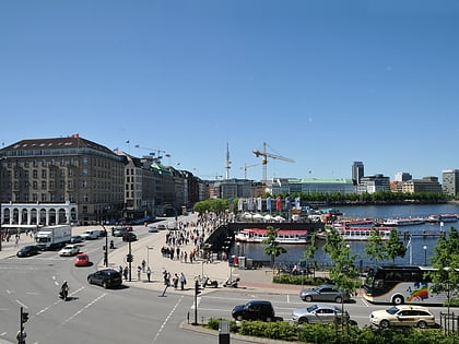
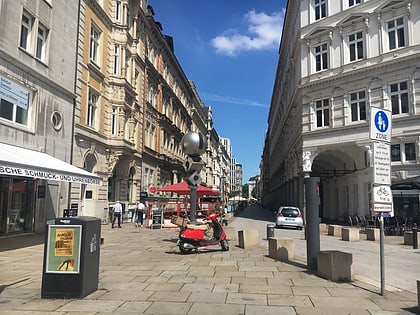
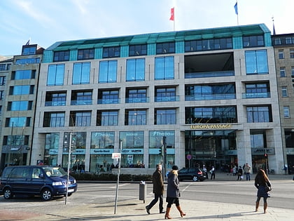
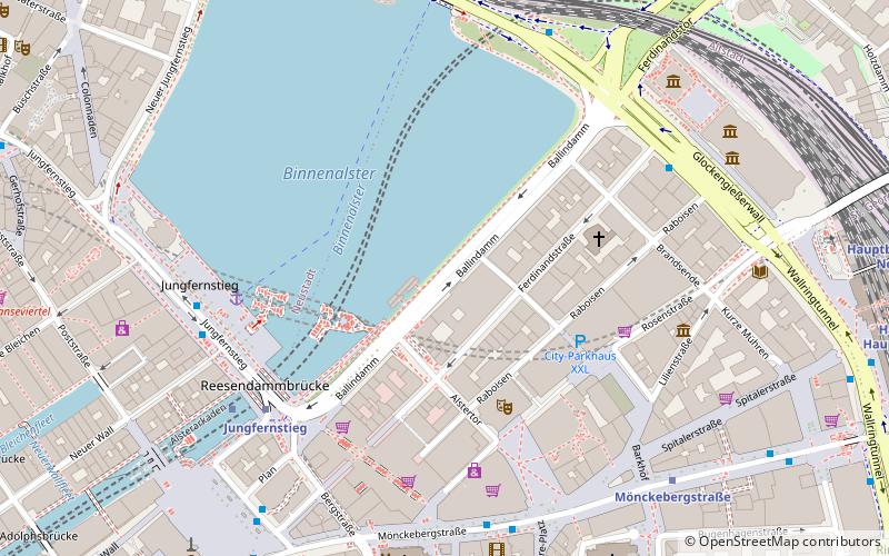
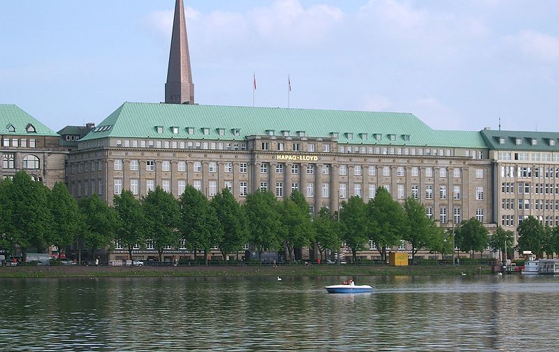
The Ballindamm is an inner city boulevard of Hamburg, Germany. Located within the Altstadt quarter directly at the Binnenalster, the Ballindamm represents the connection between Jungfernstieg and Glockengießerwall. It is thus located in the heart of the city. Today, it is a four-lane alley with parking spaces on its median strip. ()
Address
Hamburg-Mitte (Neustadt)Hamburg
ContactAdd
Social media
Add
Day trips
Ballindamm – popular in the area (distance from the attraction)
Nearby attractions include: Jungfernstieg, Mönckebergstraße, Spitalerstraße, Hamburger Kunsthalle.
Frequently Asked Questions (FAQ)
Which popular attractions are close to Ballindamm?
Nearby attractions include Thalia Theater, Hamburg (3 min walk), Gerhart-Hauptmann-Platz, Hamburg (4 min walk), Church of Saint Peter, Hamburg (6 min walk), Bishop's Tower, Hamburg (7 min walk).
How to get to Ballindamm by public transport?
The nearest stations to Ballindamm:
Metro
Ferry
Light rail
Bus
Train
Metro
- Jungfernstieg • Lines: U1, U2, U4 (5 min walk)
- Mönckebergstraße • Lines: U3 (7 min walk)
Ferry
- Jungfernstieg • Lines: Alsterkreuzfahrt (5 min walk)
- Atlantic • Lines: Alsterkreuzfahrt (11 min walk)
Light rail
- Jungfernstieg • Lines: S1, S2, S3 (5 min walk)
- Hamburg Hauptbahnhof • Lines: S1, S11, S2, S21, S3, S31 (12 min walk)
Bus
- Kunsthalle • Lines: 112 (5 min walk)
- U S Jungfernstieg • Lines: 19, 4, 5, 602, 603, 604, 605, 688, X3 (5 min walk)
Train
- Hamburg Central Station (10 min walk)
- Hamburg Dammtor / Universität (16 min walk)

