Lerchenauer Straße, Munich
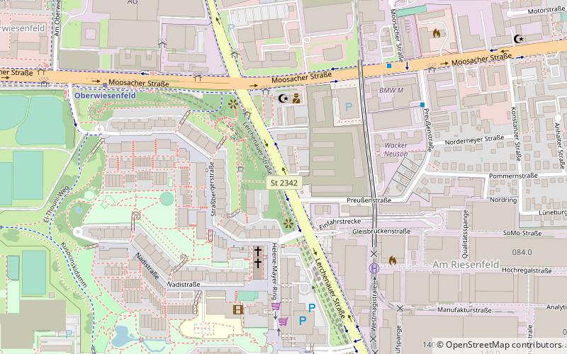
Map
Facts and practical information
The Lerchenauer Straße is a 5.5 km long arterial road in Munich. ()
Address
Milbertshofen-Am Hart (Am Riesenfeld)Munich
ContactAdd
Social media
Add
Getting there by public transportation
Public transportation stops near this location
- Metro
- Bus
- Tram
 Metro
Metro
- Calculate routeLerchenauer Straße 4 min walk
- Calculate routePreußenstraße 7 min walk
- Calculate routeOberwiesenfeld 10 min walk
- Calculate routeOlympiazentrum 11 min walk
- Calculate routeOberwiesenfeld 8 min walk
- Calculate routeOlympiazentrum 10 min walk
- Calculate routePetuelring 22 min walk
- Calculate routeFrankfurter Ring 24 min walk
- Calculate routePetuelring 23 min walk
- Calculate routeGartenstraße 26 min walk
- Calculate routeAckermannstraße 32 min walk
- Calculate routeScheidplatz 33 min walk
Day trips


Frequently Asked Questions (FAQ)
Which popular attractions are close to Lerchenauer Straße?
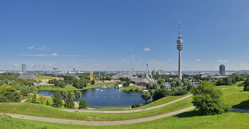
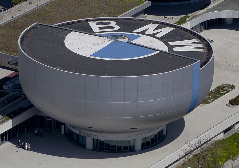
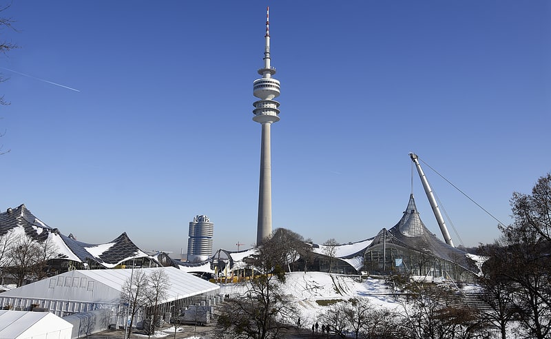
Nearby attractions include Helene-Mayer-Ring, Munich (4 min walk), Moosacher Straße, Munich (4 min walk), BMW Group Classic, Munich (7 min walk), Connollystraße, Munich (8 min walk).
How to get to Lerchenauer Straße by public transport?
The nearest stations to Lerchenauer Straße:
Bus
Metro
Tram
Bus
- Lerchenauer Straße • Lines: 173, 180, 50, N76 (4 min walk)
- Preußenstraße • Lines: 180, 50 (7 min walk)
Metro
- Oberwiesenfeld • Lines: U3 (8 min walk)
- Olympiazentrum • Lines: U3, U8 (10 min walk)
Tram
- Petuelring • Lines: 27, N27 (23 min walk)
- Gartenstraße • Lines: 27, N27 (26 min walk)