Wolfartsweier, Karlsruhe
Map
Gallery
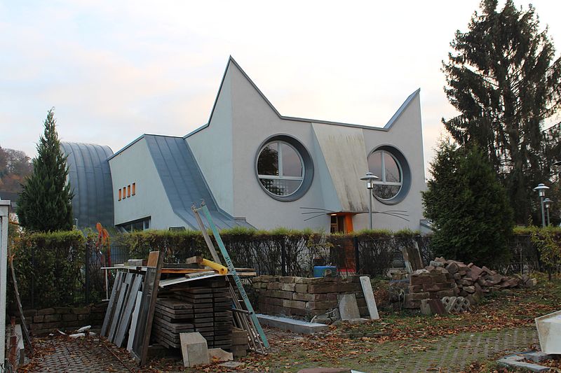
Facts and practical information
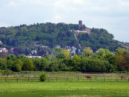
Wolfartsweier is a village and a quarter of Karlsruhe, Baden-Württemberg, Germany. Its population is 3,068. It was first mentioned in 1261 AD under the name of "Wolvoldeswilere". The local church was first mentioned in 1329. A small creek, called Wettersbach, runs through the village, but in an underground canal for most of its way. Wolfartsweier has a town hall, a Protestant and a catholic church and community centres, and a public outdoor swimming pool. ()
Address
Karlsruhe (Grünwettersbach)Karlsruhe
ContactAdd
Social media
Add
Day trips
Wolfartsweier – popular in the area (distance from the attraction)
Nearby attractions include: Karlsruhe Zoo, Turmberg, Friedhof Rüppurr, Freibad Rüppurr.
Frequently Asked Questions (FAQ)
How to get to Wolfartsweier by public transport?
The nearest stations to Wolfartsweier:
Bus
Tram
Bus
- Wolfartsweier Mitte • Lines: 107, 27, 47 (17 min walk)
- Elsa-Brändström-Straße • Lines: 24 (17 min walk)
Tram
- Wolfartsweier Nord • Lines: 2, 8, E (25 min walk)
- Zündhütle • Lines: 2, 8, E (31 min walk)


