Rosenthaler Platz, Berlin
Map
Map

Facts and practical information
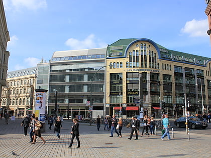
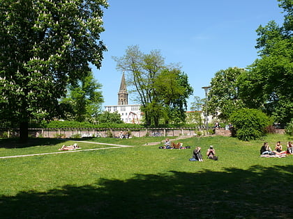
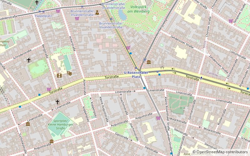
Rosenthaler Platz in Berlin's Mitte district, district Mitte, forms a crossroads where Rosenthaler Strasse, Brunnenstrasse and Weinbergsweg meet Torstrasse, and is therefore not a square in the true sense of the word. It is located on the site of the former Rosenthaler Tor of the Berlin customs wall, from which a road led to the village of Rosenthal. This gate was one of the few through which Jews were allowed to enter Berlin until the 19th century. Those who were not allowed to enter could stay overnight in a special Jewish hostel. ()
Address
MitteBerlin
ContactAdd
Social media
Add
Day trips
Rosenthaler Platz – popular in the area (distance from the attraction)
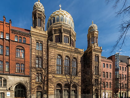
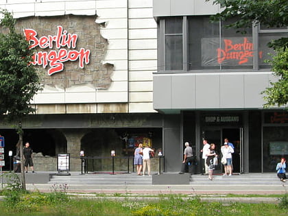
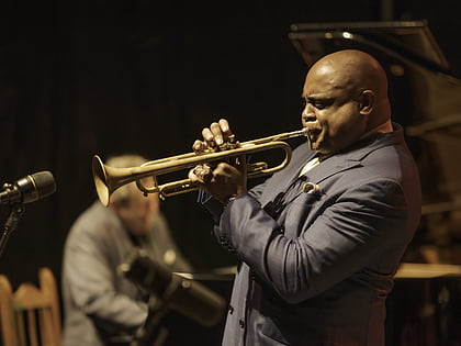
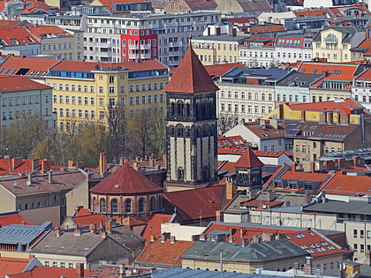
Nearby attractions include: New Synagogue, Berlin Dungeon, B-flat, Herz-Jesu-Kirche.
Frequently Asked Questions (FAQ)
Which popular attractions are close to Rosenthaler Platz?
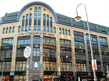
Nearby attractions include David Hasselhoff Museum, Berlin (3 min walk), Volkspark am Weinberg, Berlin (6 min walk), Spandauer Vorstadt, Berlin (7 min walk), Sophienkirche, Berlin (7 min walk).
How to get to Rosenthaler Platz by public transport?
The nearest stations to Rosenthaler Platz:
Metro
Tram
Train
Bus
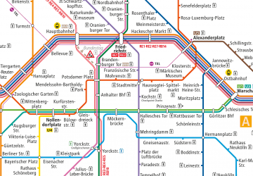
Metro
- U Rosenthaler Platz • Lines: U8 (2 min walk)
- U Weinmeisterstraße • Lines: U8 (9 min walk)
Tram
- U Rosenthaler Platz • Lines: M1, M8 (3 min walk)
- Brunnenstraße/Invalidenstraße • Lines: 12, M8 (6 min walk)
Train
- Berlin Alexanderplatz (19 min walk)
- Berlin Friedrichstraße (22 min walk)
Bus
- Alexanderplatz • Lines: 002, 057, 065, 070, 125, 1385, 170, 270, 370, N13, N1385, N232, N44, N70 (19 min walk)

 Metro
Metro