Oranienburger Straße, Berlin
Map
Gallery
Facts and practical information
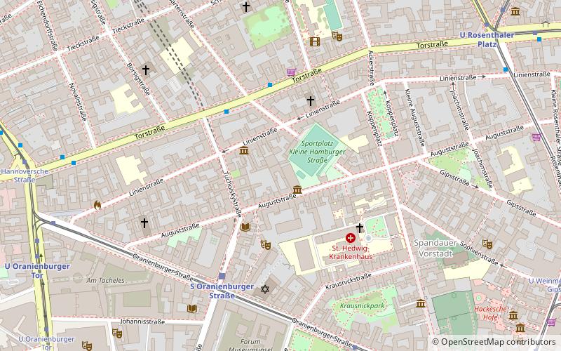
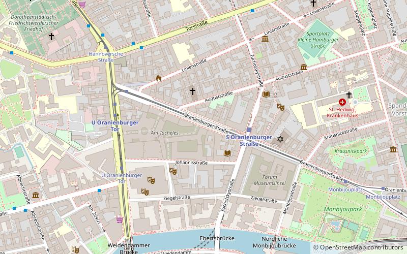
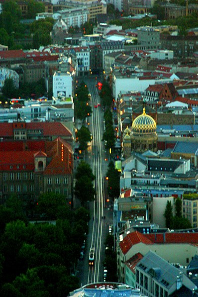
Oranienburger Straße is a street in central Berlin. It is located in the borough of Mitte, north of the River Spree, and runs south-east from Friedrichstraße to Hackescher Markt. ()
Address
MitteBerlin
ContactAdd
Social media
Add
Day trips
Oranienburger Straße – popular in the area (distance from the attraction)
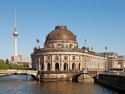
Nearby attractions include: Pergamon Museum, Bode Museum, Tränenpalast, Alte Nationalgalerie.
Frequently Asked Questions (FAQ)
Which popular attractions are close to Oranienburger Straße?
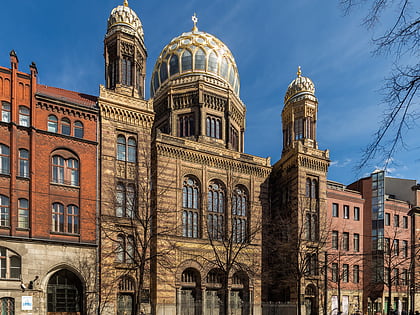
Nearby attractions include Postfuhramt, Berlin (2 min walk), Friedrichstadt-Palast, Berlin (4 min walk), New Synagogue, Berlin (4 min walk), Designpanoptikum, Berlin (5 min walk).
How to get to Oranienburger Straße by public transport?
The nearest stations to Oranienburger Straße:
Tram
Metro
Train
Bus
Tram
- S Oranienburger Straße • Lines: M1, M5 (2 min walk)
- U Oranienburger Tor • Lines: 12, M1, M5 (5 min walk)
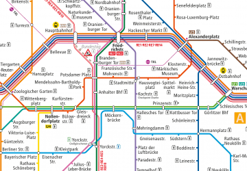
Metro
- U Oranienburger Tor • Lines: U6 (5 min walk)
- U Friedrichstraße • Lines: U6 (10 min walk)
Train
- Berlin Friedrichstraße (11 min walk)
- Berlin Alexanderplatz (23 min walk)
Bus
- Alexanderplatz • Lines: 002, 057, 065, 070, 125, 1385, 170, 270, 370, N13, N1385, N232, N44, N70 (26 min walk)

 Metro
Metro


