Marienturm, Frankfurt
Map

Map

Facts and practical information
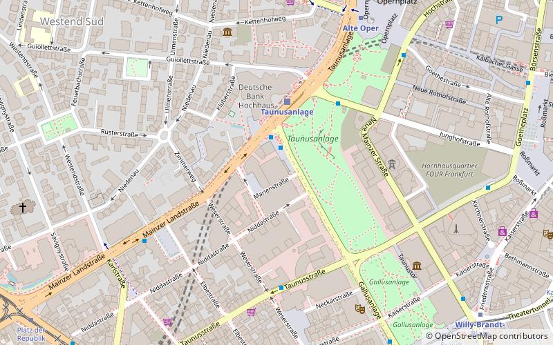
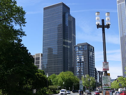
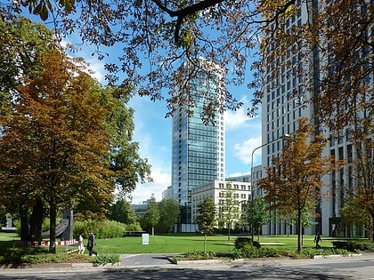
Marienturm is a skyscraper in Frankfurt, Germany. Completed in 2019, it has a height of 155 meters, making it the 14th tallest building in Frankfurt as of 2021. Located in the Bankenviertel, the building was built between 2015 and 2019 by real estate developer Pecan Development GmbH, and is primarily used for office space. ()
Address
Innenstadt (Bahnhofsviertel)Frankfurt
ContactAdd
Social media
Add
Day trips
Marienturm – popular in the area (distance from the attraction)
Nearby attractions include: Goethestraße, Freßgass, Kaiserhofstraße, Opernplatz.
Frequently Asked Questions (FAQ)
Which popular attractions are close to Marienturm?
Nearby attractions include Trianon, Frankfurt (3 min walk), Deutsche Bank Twin Towers, Frankfurt (3 min walk), Skyper, Frankfurt (4 min walk), Eurotheum, Frankfurt (5 min walk).
How to get to Marienturm by public transport?
The nearest stations to Marienturm:
Bus
Train
Metro
Tram
Bus
- Taunusanlage • Lines: 64, N7, N8 (2 min walk)
- Weserstraße • Lines: 64 (5 min walk)
Train
- Taunusanlage (3 min walk)
- Hauptwache (12 min walk)
Metro
- Alte Oper • Lines: U6, U7 (7 min walk)
- Willy-Brandt-Platz • Lines: U1, U2, U3, U4, U5, U8 (9 min walk)
Tram
- Weserstraße / Münchener Straße • Lines: 11, 12, 14, EEx (8 min walk)
- Willy-Brandt-Platz • Lines: 11, 12, 14, EEx (9 min walk)


