Punkendeich, Bremen

Map
Facts and practical information
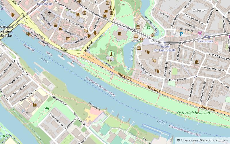
The Punkendeich was a dike between the river Weser and the city of Bremen that was known for prostitution. It ran from the city wall to Sielwall. Originally called the Sieldeich, the Punkendeich was incorporated into the larger Osterdeich in 1850. A road and houses were built along the top of the dike, the road later becoming part of the Osterdeich trunk road. ()
Address
Mitte (Altstadt)Bremen
ContactAdd
Social media
Add
Day trips
Punkendeich – popular in the area (distance from the attraction)
Nearby attractions include: Bremen Cathedral, Kunsthalle Bremen, Olbers-Planetarium, Die Glocke.
Frequently Asked Questions (FAQ)
Which popular attractions are close to Punkendeich?
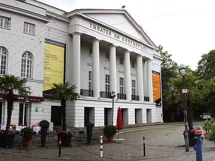
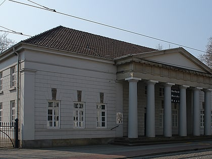
Nearby attractions include Villa Ichon, Bremen (3 min walk), Theater am Goetheplatz, Bremen (4 min walk), Theater Bremen, Bremen (4 min walk), Kunsthalle Bremen, Bremen (4 min walk).
How to get to Punkendeich by public transport?
The nearest stations to Punkendeich:
Tram
Bus
Train
Tram
- Theater am Goetheplatz • Lines: 2, 3 (5 min walk)
- Domsheide • Lines: 1, 2, 3, 4, 6, 8, N4 (8 min walk)
Bus
- Domsheide • Lines: 24, 25, N3, N5 (8 min walk)
- Schüsselkorb • Lines: 24, 25, N3, N5 (12 min walk)
Train
- Bremen Hauptbahnhof (22 min walk)
- Bremen Neustadt (30 min walk)


