Hohenfelde, Hamburg
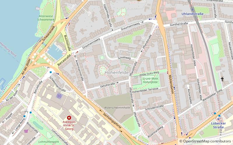
Map
Facts and practical information
Address
Hamburg-Nord (Hohenfelde)Hamburg
ContactAdd
Social media
Add
Day trips
Hohenfelde – popular in the area (distance from the attraction)
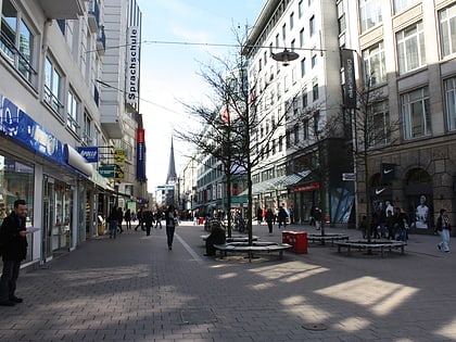
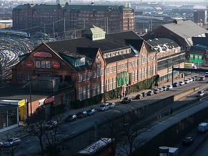
Nearby attractions include: Spitalerstraße, Hamburger Kunsthalle, Museum für Kunst und Gewerbe Hamburg, Alster-Schwimmhalle.
Frequently Asked Questions (FAQ)
Which popular attractions are close to Hohenfelde?
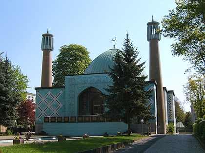
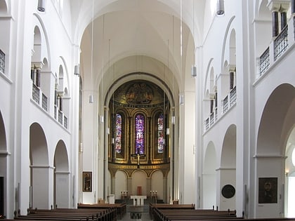
Nearby attractions include Monument to the X-ray and Radium Martyrs of All Nations, Hamburg (6 min walk), Al-Quds Mosque Hamburg, Hamburg (9 min walk), Domkirche St. Marien, Hamburg (11 min walk), St. Georg, Hamburg (12 min walk).
How to get to Hohenfelde by public transport?
The nearest stations to Hohenfelde:
Bus
Metro
Light rail
Ferry
Train
Bus
- Mundsburger Brücke • Lines: 17, 172, 18, 6, 607 (7 min walk)
- AK St. Georg • Lines: 17, 18, 6, 607 (8 min walk)
Metro
- Uhlandstraße • Lines: U3 (8 min walk)
- Lübecker Straße • Lines: U1, U3 (9 min walk)
Light rail
- Berliner Tor • Lines: S1, S11, S2, S21, S31 (17 min walk)
- Landwehr • Lines: S1, S11 (18 min walk)
Ferry
- Atlantic • Lines: Alsterkreuzfahrt (20 min walk)
- Rabenstraße • Lines: Alsterkreuzfahrt (22 min walk)
Train
- Hamburg Central Station (22 min walk)
