Chausseestraße, Berlin
Map
Map

Facts and practical information
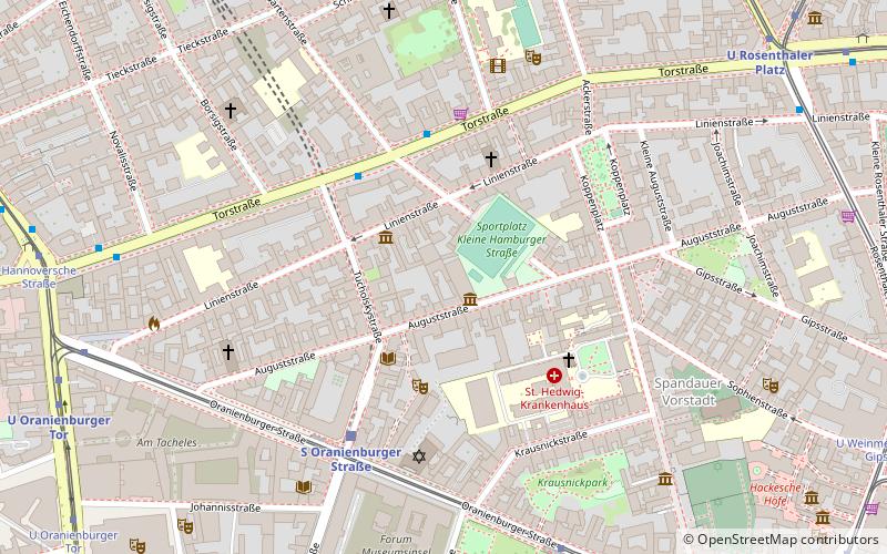
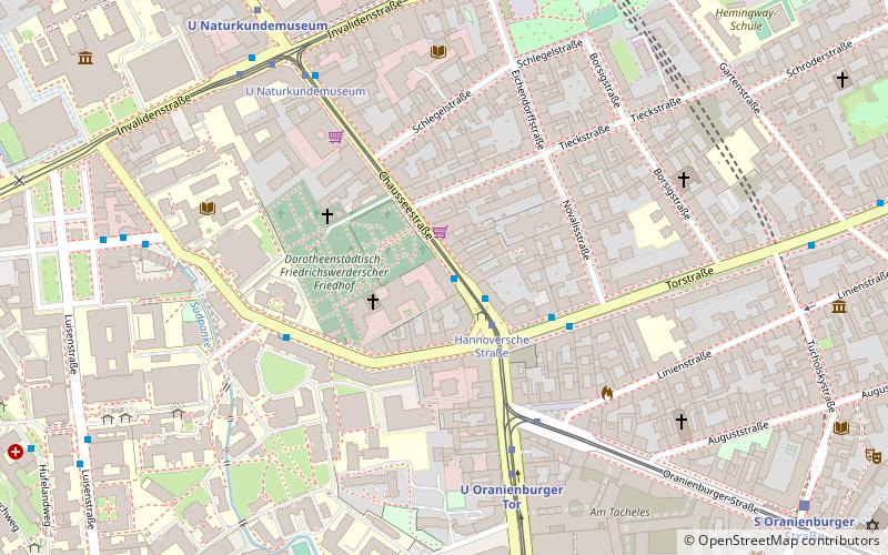
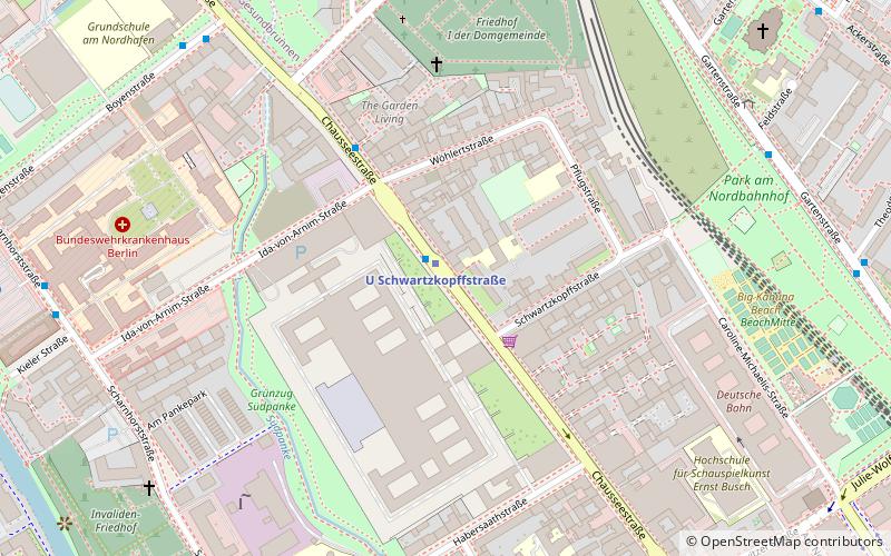
Chausseestraße is a major street in the centre of Berlin, located in the district of Mitte. It is 1.7 kilometres long. Many notable buildings and structures are located along the street, including the Headquarters of the Federal Intelligence Service. During the Cold War, the Chausseestraße crossing point, directly adjacent to the new BND headquarters, was one of the main crossing points between West Berlin and East Germany. ()
Address
MitteBerlin
ContactAdd
Social media
Add
Day trips
Chausseestraße – popular in the area (distance from the attraction)
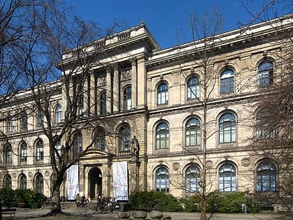
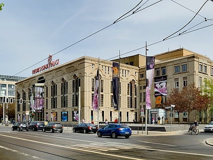
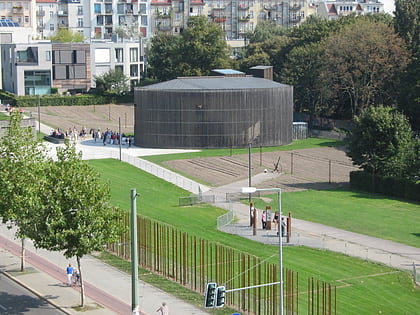
Nearby attractions include: Hamburger Bahnhof, Museum für Naturkunde, Friedrichstadt-Palast, Berlin Wall Memorial.
Frequently Asked Questions (FAQ)
Which popular attractions are close to Chausseestraße?
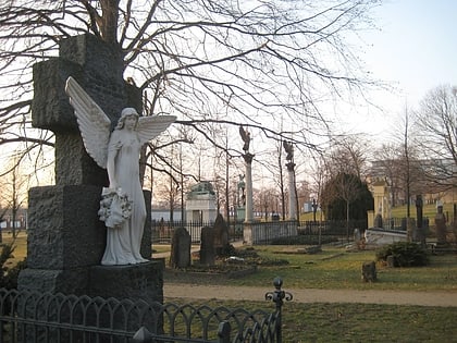
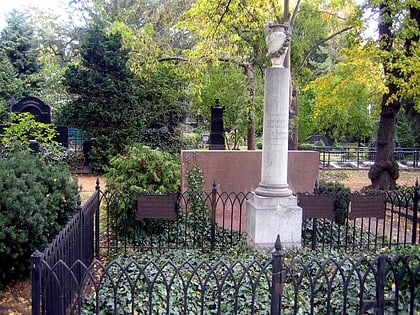
Nearby attractions include Feuerland, Berlin (7 min walk), Museum für Naturkunde, Berlin (9 min walk), Invalids' Cemetery, Berlin (9 min walk), Invalidenstraße, Berlin (12 min walk).
How to get to Chausseestraße by public transport?
The nearest stations to Chausseestraße:
Metro
Tram
Train
Bus
Metro
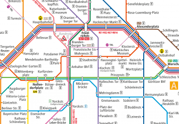
- U Schwartzkopffstraße • Lines: U6 (1 min walk)
- U Naturkundemuseum • Lines: U6 (9 min walk)
Tram
- U Naturkundemuseum • Lines: 12, M10, M5, M8 (10 min walk)
- Invalidenpark • Lines: M10, M5, M8 (12 min walk)
Train
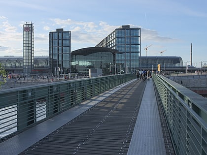
- Berlin Central Station (20 min walk)
- Berlin Gesundbrunnen (28 min walk)
Bus
- Perleberger Brücke • Lines: 123, 142 (22 min walk)

 Metro
Metro
