Port of Kiel, Kiel
Map

Map

Facts and practical information
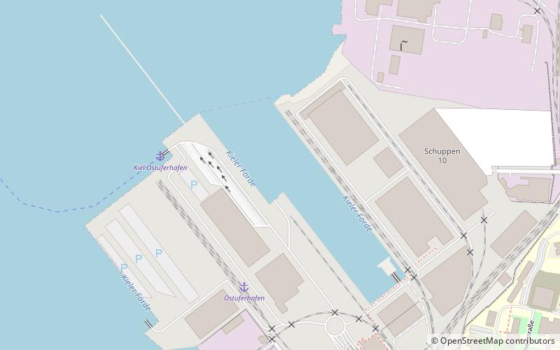
The Port of Kiel is a significant port for passenger and cargo shipping located in Kiel, Germany. It occupies the inner part of the Baltic Sea inlet Kieler Förde and includes the approach to the locks at the eastern end of Kiel Canal. ()
Coordinates: 54°20'11"N, 10°10'23"E
Day trips
Port of Kiel – popular in the area (distance from the attraction)
Nearby attractions include: Kieler Yacht-Club, Kiel Castle, Alter Botanischer Garten, Zoologisches Museum.
Frequently Asked Questions (FAQ)
Which popular attractions are close to Port of Kiel?
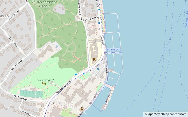
Nearby attractions include Kiel University of Applied Sciences, Kiel (11 min walk), Sporthafen Düsternbrook, Kiel (17 min walk), German National Library of Economics, Kiel (18 min walk), EconBiz, Kiel (18 min walk).
How to get to Port of Kiel by public transport?
The nearest stations to Port of Kiel:
Ferry
Bus
Ferry
- Kiel Ostuferhafen • Lines: Kiel - Klaipėda (4 min walk)
Bus
- Salzredder • Lines: 11, 11N (11 min walk)
- Schwentinestraße • Lines: 60S (12 min walk)


