Kupfergraben, Berlin
Map
Gallery
Facts and practical information
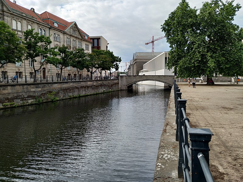
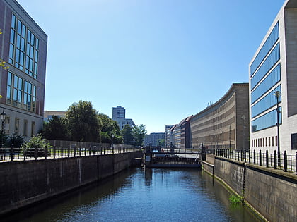
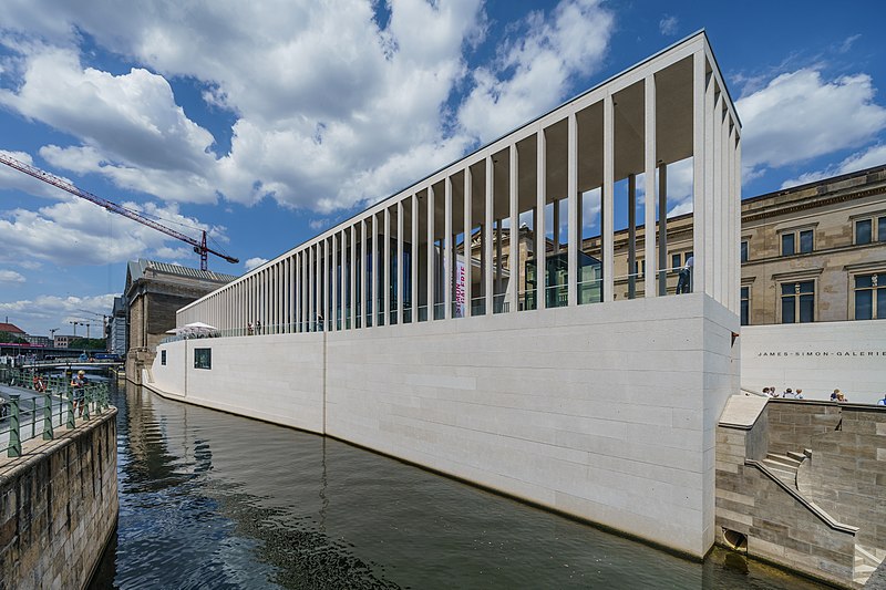
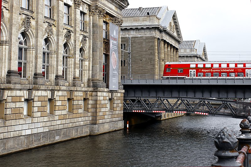
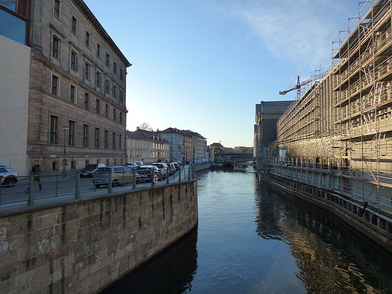
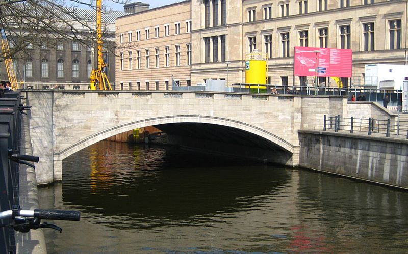
Kupfergraben is the name given to the 400-metre-long northern part of the canal-like left arm of the Spree, the Spreekanal, along the Museum Island from the Eiserne Bridge to the Spree at kilometre 16.31 in Berlin's Mitte district. The Spreekanal with a length of two kilometres belongs to the federal waterway Spree-Oder-Wasserstraße, for which the Wasser- und Schifffahrtsamt Berlin is responsible. ()
Address
MitteBerlin
ContactAdd
Social media
Add
Day trips
Kupfergraben – popular in the area (distance from the attraction)
Nearby attractions include: Berlin Cathedral, Lustgarten, Humboldt Box, Ephraim-Palais.
Frequently Asked Questions (FAQ)
Which popular attractions are close to Kupfergraben?
Nearby attractions include Schleusen Bridge, Berlin (2 min walk), Monument to Freedom and Unity, Berlin (2 min walk), Schloßplatz, Berlin (2 min walk), Friedrichswerder Church, Berlin (3 min walk).
How to get to Kupfergraben by public transport?
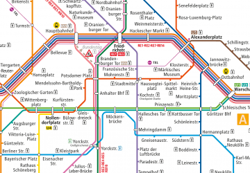
The nearest stations to Kupfergraben:
Metro
Tram
Train
Bus
Metro
- U Museumsinsel • Lines: U5 (4 min walk)
- U Hausvogteiplatz • Lines: U2 (8 min walk)
Tram
- Spandauer Straße/Marienkirche • Lines: M4, M5, M6 (9 min walk)
- Am Kupfergraben • Lines: 12, M1 (10 min walk)
Train
- Berlin Alexanderplatz (15 min walk)
- Berlin Friedrichstraße (17 min walk)
Bus
- Alexanderplatz • Lines: 002, 057, 065, 070, 125, 1385, 170, 270, 370, N13, N1385, N232, N44, N70 (20 min walk)


 Metro
Metro


