Benjamin Franklin Village, Mannheim

Map
Facts and practical information
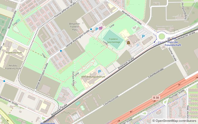
Benjamin Franklin Village, also called BFV, was a United States Army installation in Mannheim-Käfertal, Germany. It opened in 1947 after World War II and was named after Benjamin Franklin. It was closed as part of the restructuring of US forces in Europe. The last soldier and their family moved out in September 2012. ()
Elevation: 328 ft a.s.l.Coordinates: 49°31'1"N, 8°31'55"E
Address
KäfertalMannheim
ContactAdd
Social media
Add
Day trips
Benjamin Franklin Village – popular in the area (distance from the attraction)
Nearby attractions include: Carl-Benz-Stadion, Fernmeldeturm Mannheim, Kletterwald, Luisenpark.
Frequently Asked Questions (FAQ)
How to get to Benjamin Franklin Village by public transport?
The nearest stations to Benjamin Franklin Village:
Bus
Train
Tram
Bus
- Franklin Mitte • Lines: 67 (4 min walk)
- Washingtonstraße • Lines: 67 (4 min walk)
Train
- Platz der Freundschaft (8 min walk)
- Bensheimer Straße (8 min walk)
Tram
- Vogelstang Zentrum • Lines: 7 (15 min walk)
- Potsdamer Weg • Lines: 7 (16 min walk)


