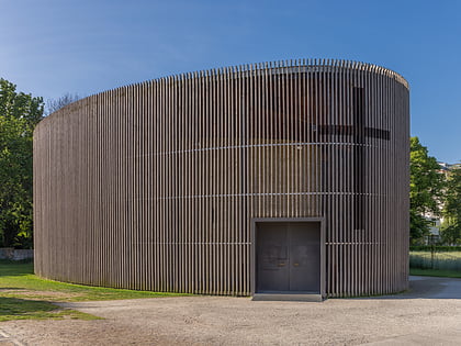
Schwedter Straße, Berlin
Map
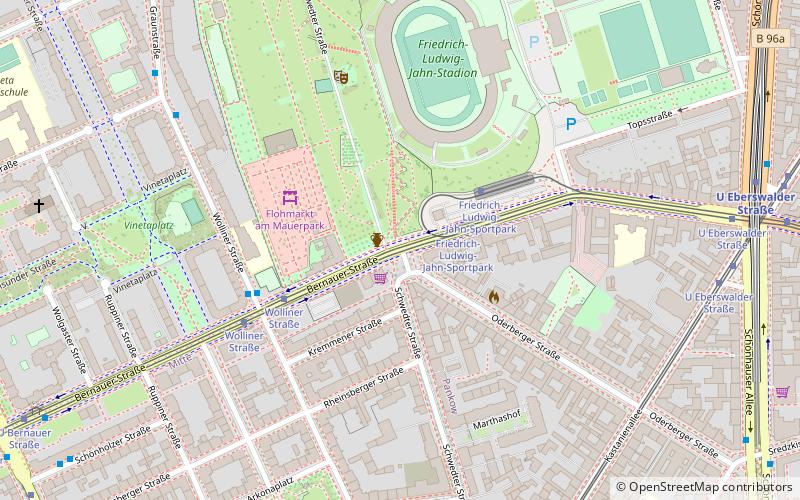
Map

Facts and practical information
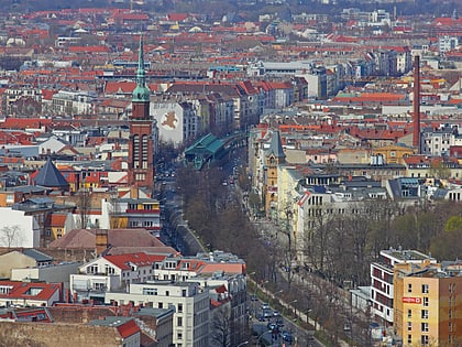
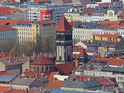
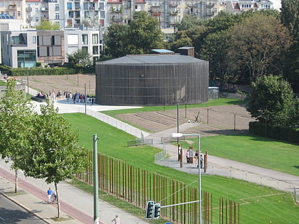
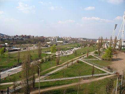
Schwedter Straße, named after the town of Schwedt/Oder, is an inner-city road in the Mitte and Prenzlauer Berg districts of Berlin. It partially forms the border between both quarters and crosses Mauerpark at the site of the former Berlin Wall. ()
Address
Pankow (Prenzlauer Berg)Berlin
ContactAdd
Social media
Add
Day trips
Schwedter Straße – popular in the area (distance from the attraction)
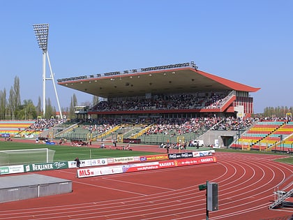
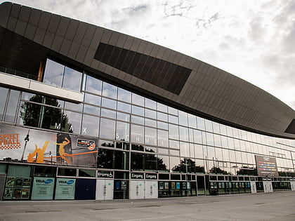
Nearby attractions include: Schönhauser Allee, Friedrich-Ludwig-Jahn-Sportpark, Max-Schmeling-Halle, B-flat.
Frequently Asked Questions (FAQ)
Which popular attractions are close to Schwedter Straße?
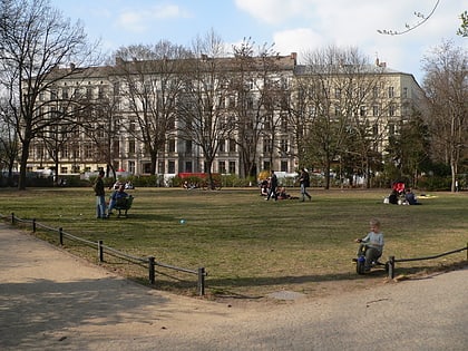
Nearby attractions include Flohmarkt am Mauerpark, Berlin (3 min walk), Mauerpark, Berlin (6 min walk), Arkonaplatz, Berlin (6 min walk), Max-Schmeling-Halle, Berlin (8 min walk).
How to get to Schwedter Straße by public transport?
The nearest stations to Schwedter Straße:
Tram
Metro
Train
Tram
- Friedrich-Ludwig-Jahn-Sportpark • Lines: M10 (2 min walk)
- Wolliner Straße • Lines: M10 (4 min walk)
Metro
- U Eberswalder Straße • Lines: U2 (9 min walk)
- U Bernauer Straße • Lines: U8 (11 min walk)
Train
- Berlin Gesundbrunnen (21 min walk)

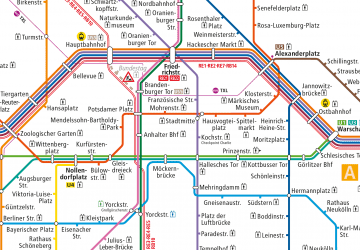 Metro
Metro