Prinzregentenstraße, Munich

Gallery (5)
Map

Map

Gallery
Facts and practical information
The Prinzregentenstraße in Munich is one of four royal avenues and runs parallel to Maximilianstraße and begins at Prinz-Carl-Palais, in the northeastern part of the Old Town. The avenue was constructed from 1891 onwards as a prime address for the middle-class during the reign of Luitpold, Prince Regent of Bavaria and is named in his honour. The square in the eastern part of the street is named Prinzregentenplatz. ()
Address
Au - Haidhausen (Maximilianeum)Munich
ContactAdd
Social media
Add
Getting there by public transportation
Public transportation stops near this location
- Metro
- Bus
- Tram
- Train
 Metro
Metro
- Calculate routeFriedensengel/Villa Stuck 1 min walk
- Calculate routeHolbeinstraße 5 min walk
- Calculate routeMaximilianeum 10 min walk
- Calculate routeMax-Weber-Platz 10 min walk
- Calculate routeFriedensengel/Villa Stuck 1 min walk
- Calculate routeReitmorstraße/Sammlung Schack 8 min walk
- Calculate routePrinzregentenplatz 9 min walk
- Calculate routeMax-Weber-Platz 9 min walk
- Calculate routePrinzregentenplatz 9 min walk
- Calculate routeMax-Weber-Platz 9 min walk
- Calculate routeLehel 15 min walk
- Calculate routeBöhmerwaldplatz 20 min walk
- Calculate routeRosenheimer Platz 22 min walk
- Calculate routeLeuchtenbergring 22 min walk
- Calculate routeMünchen Ost 24 min walk
- Calculate routeMarienplatz 30 min walk
Day trips


Frequently Asked Questions (FAQ)
Which popular attractions are close to Prinzregentenstraße?
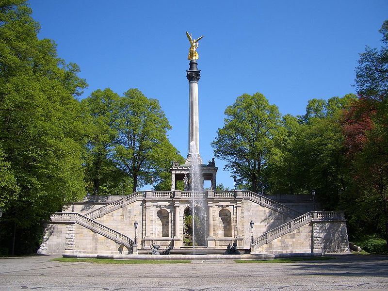
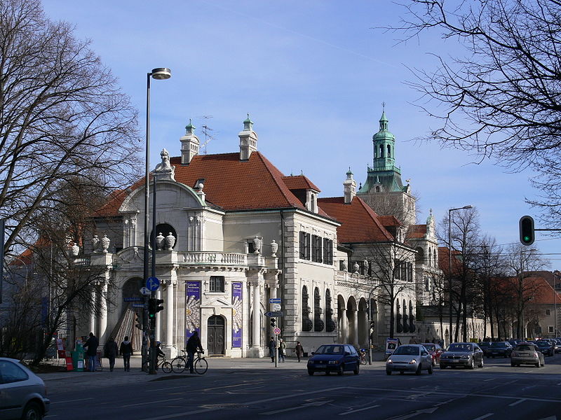
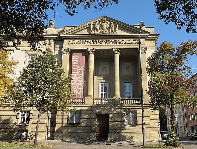
Nearby attractions include Museum Villa Stuck, Munich (1 min walk), Friedensengel, Munich (4 min walk), Holbeinstraße, Munich (5 min walk), Prinzregententheater, Munich (8 min walk).
How to get to Prinzregentenstraße by public transport?
The nearest stations to Prinzregentenstraße:
Tram
Bus
Metro
Train
Tram
- Friedensengel/Villa Stuck • Lines: 37, N17 (1 min walk)
- Holbeinstraße • Lines: 37, N17 (5 min walk)
Bus
- Friedensengel/Villa Stuck • Lines: 100 (1 min walk)
- Reitmorstraße/Sammlung Schack • Lines: 100 (8 min walk)
Metro
- Prinzregentenplatz • Lines: U4 (9 min walk)
- Max-Weber-Platz • Lines: U4, U5 (9 min walk)
Train
- Rosenheimer Platz (22 min walk)
- Leuchtenbergring (22 min walk)