Westhafen Tower, Frankfurt
Map

Map

Facts and practical information
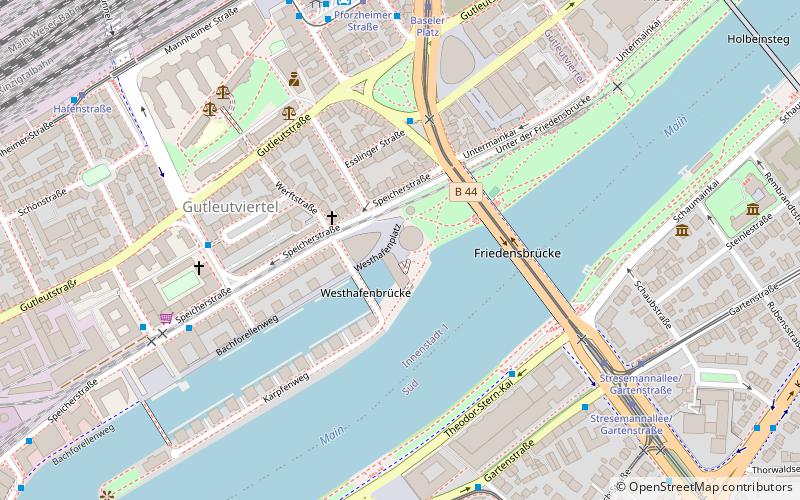
Westhafen Tower is a 109.826 m 30-storey skyscraper in the Gutleutviertel district of Frankfurt, Germany. The building was designed by the architects Schneider & Schumacher and was completed in 2004. The tower, whose name literally means "West Port Tower", is one of the first buildings at the former West Port. ()
Day trips
Westhafen Tower – popular in the area (distance from the attraction)
Nearby attractions include: Skyline Plaza, Städel Museum, Deutsches Filmmuseum, Weltkulturen Museum.
Frequently Asked Questions (FAQ)
Which popular attractions are close to Westhafen Tower?
Nearby attractions include Gutleutviertel, Frankfurt (5 min walk), Bahnhofsviertel, Frankfurt (6 min walk), Museum Giersch, Frankfurt (7 min walk), Liebieghaus, Frankfurt (9 min walk).
How to get to Westhafen Tower by public transport?
The nearest stations to Westhafen Tower:
Bus
Tram
Train
Metro
Bus
- Rottweiler Platz • Lines: 33 (5 min walk)
- Baseler Platz • Lines: 64, N12, N16 (5 min walk)
Tram
- Baseler Platz • Lines: 12, 16, 17, 20, 21, EEx (6 min walk)
- Vogelweidstraße • Lines: 12, 15, 19, 20, 21 (7 min walk)
Train
- Frankfurt Hauptbahnhof (10 min walk)
- Hauptbahnhof (11 min walk)
Metro
- Hauptbahnhof • Lines: U4, U5 (12 min walk)
- Schweizer Platz • Lines: U1, U2, U3, U8 (19 min walk)


