Jüdenstraße, Berlin
Map
Map

Facts and practical information
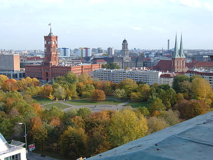
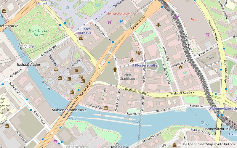
The Jüdenstraße, is a street in central Berlin, the capital of Germany. It is in the borough of Mitte and runs between Rathausstraße and Stralauer Straße, next to the Rotes Rathaus, Berlin's town hall. It is one of the oldest streets in Berlin, dating from the late 13th century. ()
Address
MitteBerlin
ContactAdd
Social media
Add
Day trips
Jüdenstraße – popular in the area (distance from the attraction)
Nearby attractions include: Fernsehturm, Ephraim-Palais, Rotes Rathaus, Neptunbrunnen.
Frequently Asked Questions (FAQ)
Which popular attractions are close to Jüdenstraße?
Nearby attractions include Altes Stadthaus, Berlin (2 min walk), Molkenmarkt, Berlin (2 min walk), Parochialkirche, Berlin (3 min walk), Hanf Museum Berlin, Berlin (3 min walk).
How to get to Jüdenstraße by public transport?
The nearest stations to Jüdenstraße:
Metro
Tram
Train
Bus
Metro
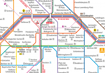
- U Klosterstraße • Lines: U2 (3 min walk)
- U Rotes Rathaus • Lines: U5 (5 min walk)
Tram
- S+U Alexanderplatz/Gontardstraße • Lines: M4, M5, M6 (8 min walk)
- Spandauer Straße/Marienkirche • Lines: M4, M5, M6 (9 min walk)
Train
- Berlin Alexanderplatz (9 min walk)
- Berlin Friedrichstraße (26 min walk)
Bus
- Alexanderplatz • Lines: 002, 057, 065, 070, 125, 1385, 170, 270, 370, N13, N1385, N232, N44, N70 (13 min walk)

 Metro
Metro


