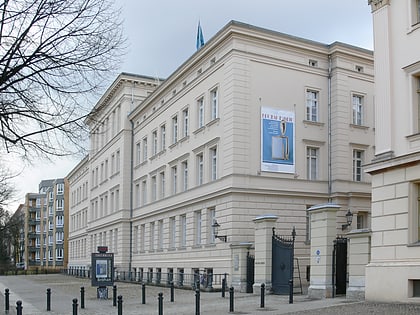
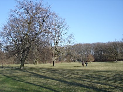
Westhafen Canal, Berlin
Map
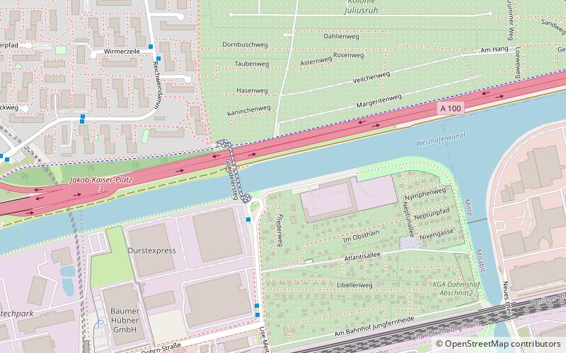
Map

Facts and practical information
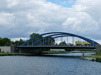
The Westhafen Canal, or Westhafenkanal in German, is a canal in Berlin, Germany. The 3.1-kilometre long canal connects with the Westhafen inland port and the Berlin-Spandau Ship Canal at its eastern end, and with the River Spree in Charlottenburg at its western end. It has no locks. ()
Address
Charlottenburg-Wilmersdorf (Charlottenburg Nord)Berlin
ContactAdd
Social media
Add
Day trips
Westhafen Canal – popular in the area (distance from the attraction)
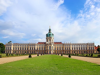
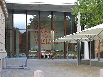
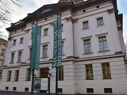
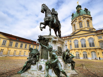
Nearby attractions include: Charlottenburg Palace, Scharf-Gerstenberg Collection, Museum Berggruen, Equestrian statue of Friedrich Wilhelm I.
Frequently Asked Questions (FAQ)
Which popular attractions are close to Westhafen Canal?
Nearby attractions include Protestant Church of Plötzensee, Berlin (12 min walk), Maria Regina Martyrum, Berlin (14 min walk), Charlottenburg Canal, Berlin (15 min walk), Charlottenburg-Nord, Berlin (16 min walk).
How to get to Westhafen Canal by public transport?
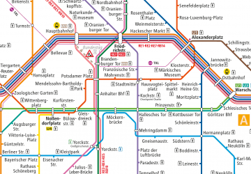
The nearest stations to Westhafen Canal:
Metro
Train
Bus
Metro
- U Jungfernheide • Lines: U7 (10 min walk)
- U Jakob-Kaiser-Platz • Lines: U7 (15 min walk)
Train
- Berlin Jungfernheide (11 min walk)
Bus
- Stieffring • Lines: 123 (20 min walk)
 Metro
Metro