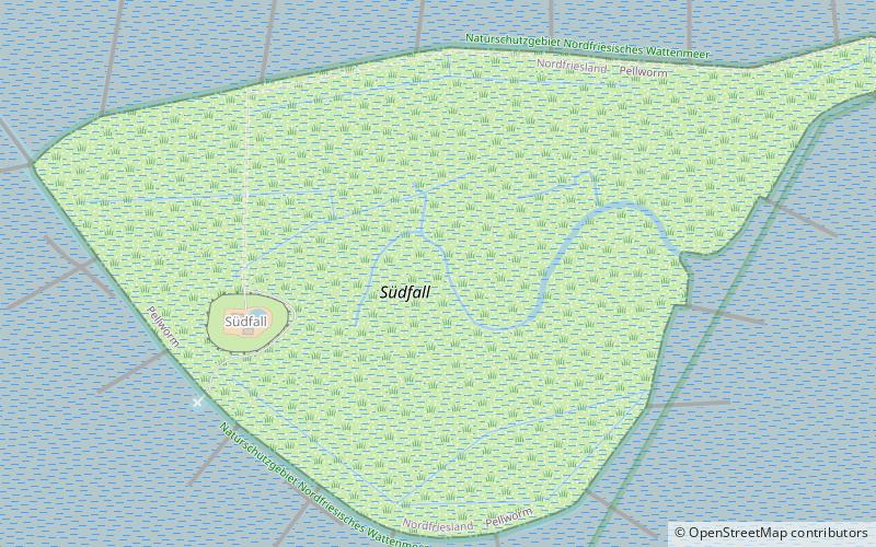
Südfall, Schleswig-Holstein Wadden Sea National Park

Gallery (3)
Map
Map
Gallery
Facts and practical information
Südfall is a small island in the Wadden Sea off the west coast of Schleswig-Holstein, Germany, one of the ten German Hallig islands. It has a permanent population of two people. It covers an area of 0.56 square kilometres and is administratively part of Pellworm Municipality. ()
Alternative names: Area: 138.38 acres (0.2162 mi²)Maximum elevation: 10 ftArchipelago: North Frisian IslandsCoordinates: 54°27'55"N, 8°43'35"E
Address
Schleswig-Holstein Wadden Sea National Park
ContactAdd
Social media
Add
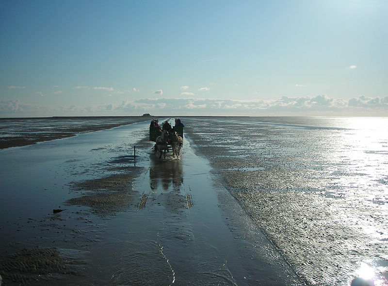
Day trips


