Chaderghat, Hyderabad
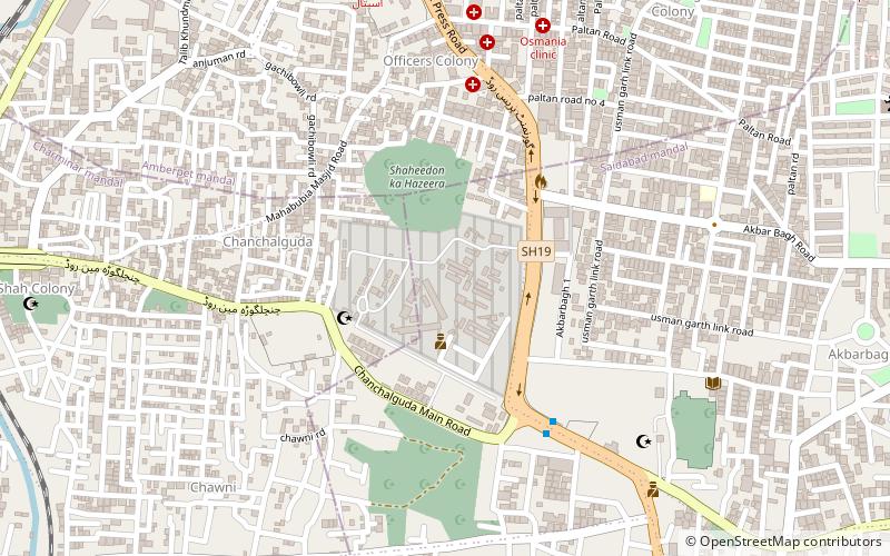
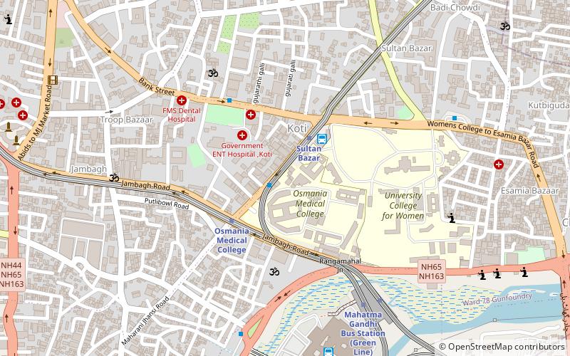
Map
Facts and practical information
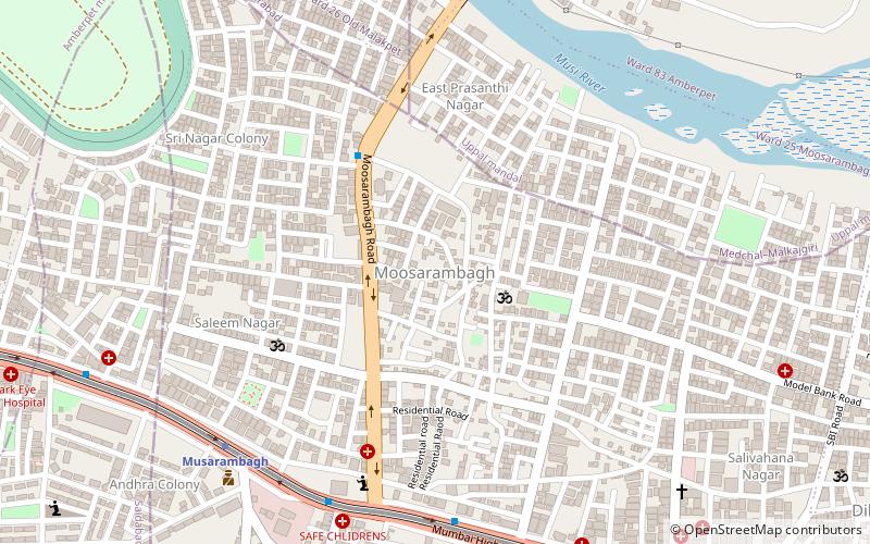
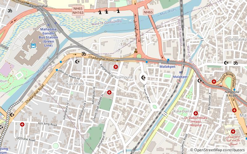
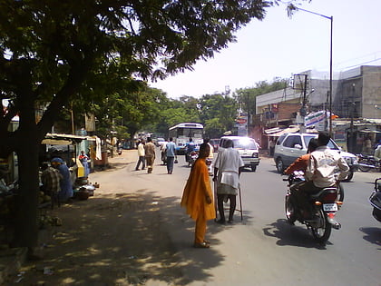
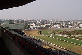
Chaderghat is considered one of the busiest areas of Hyderabad city and is located on the banks of Musi River. Chaderghat Bridge was built during the time of the Nizams and connects major suburbs to the main city. The original name of Chadherghat was "Oliphant Nagar". ()
Coordinates: 17°22'0"N, 78°30'0"E
Address
Erstwhile Circle-I (Azampura)Hyderabad
ContactAdd
Social media
Add
Day trips
Chaderghat – popular in the area (distance from the attraction)
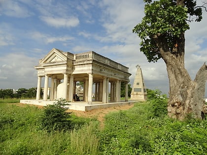
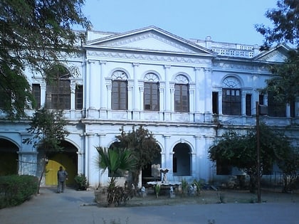
Nearby attractions include: Purani Haveli, Raymond's Tomb, Sultan Bazar, H.E.H The Nizam's Museum.
Frequently Asked Questions (FAQ)
Which popular attractions are close to Chaderghat?
Nearby attractions include Malakpet, Hyderabad (1 min walk), Azampura, Hyderabad (23 min walk).
How to get to Chaderghat by public transport?
The nearest stations to Chaderghat:
Metro
Bus
Train
Metro
- New Market • Lines: Red Line (14 min walk)
- Malakpet • Lines: Red Line (22 min walk)
Bus
- Malakpet Market • Lines: 201K (15 min walk)
- Nalgonda X Roads • Lines: 201K (16 min walk)
Train
- Dabirpura (17 min walk)
- Yakutpura (18 min walk)
