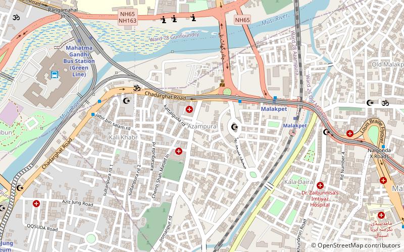
Malakpet, Hyderabad
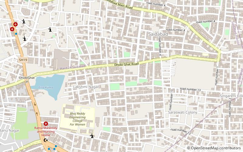
Map
Facts and practical information
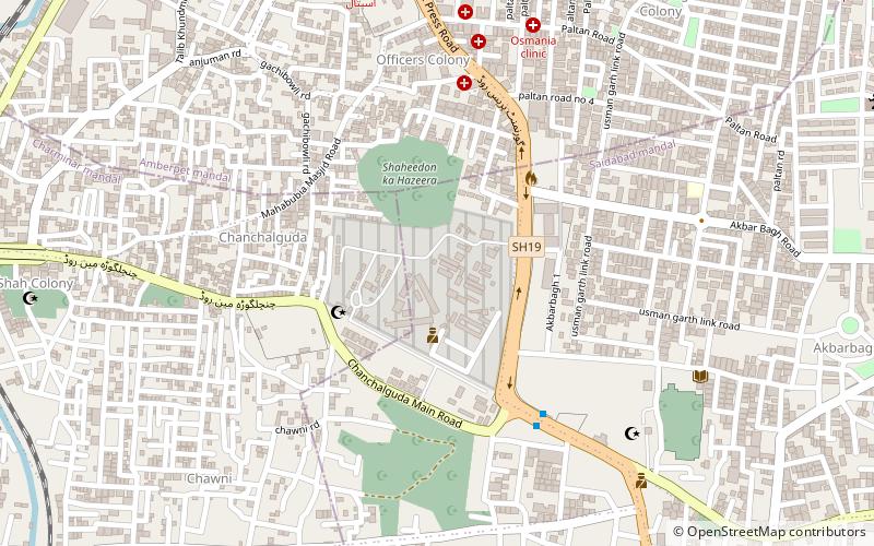
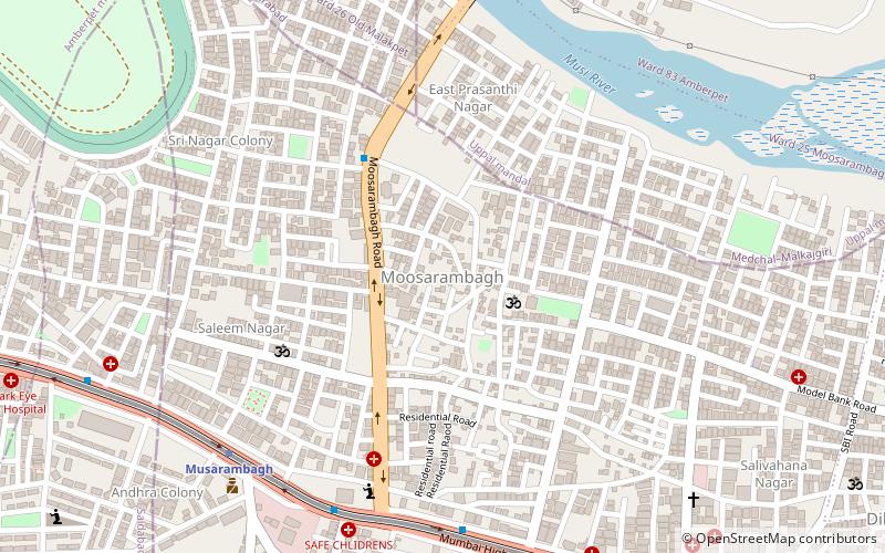
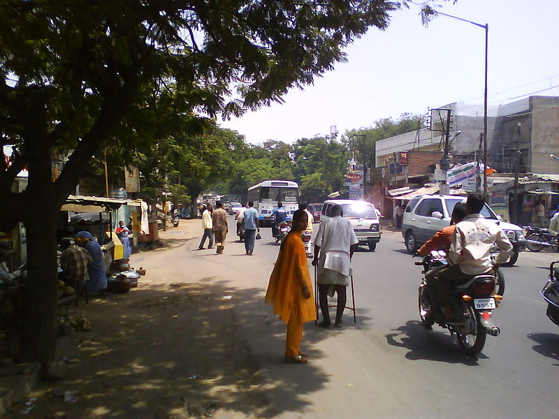
Malakpet is one of the suburbs in the old city area of Hyderabad, Telangana, India. It is famous for TV tower which was built by Teegala Sree Ramulu. This is further divided into two parts, Old Malakpet and New Malakpet and is traditionally considered part of old city. This circle comes under Charminar Zone of Greater Hyderabad Municipal Corporation. There are seven wards in this circle namely Saidabad, Moosrambagh, Old Malakpet, Akberbagh, Azampura, Chawani and Dabeerpura. ()
Coordinates: 17°22'0"N, 78°30'0"E
Getting there by public transportation
Public transportation stops near this location
- Metro
- Bus
- Train
 Metro
Metro
- Calculate routeNew Market 14 min walk
- Calculate routeMalakpet 22 min walk
- Calculate routeMusarambagh 22 min walk
- Calculate routeMahatma Gandhi Bus Station 33 min walk
- Calculate routeMalakpet Market 15 min walk
- Calculate routeNalgonda X Roads 16 min walk
- Calculate routeChaderghat 22 min walk
- Calculate routeMoosarambagh 29 min walk
- Calculate routeDabirpura 17 min walk
- Calculate routeYakutpura 18 min walk
- Calculate routeMalakpet 20 min walk
Day trips


Frequently Asked Questions (FAQ)
Which popular attractions are close to Malakpet?
Nearby attractions include Chaderghat, Hyderabad (1 min walk), Azampura, Hyderabad (23 min walk).
How to get to Malakpet by public transport?
The nearest stations to Malakpet:
Metro
Bus
Train
Metro
- New Market • Lines: Red Line (14 min walk)
- Malakpet • Lines: Red Line (22 min walk)
Bus
- Malakpet Market • Lines: 201K (15 min walk)
- Nalgonda X Roads • Lines: 201K (16 min walk)
Train
- Dabirpura (17 min walk)
- Yakutpura (18 min walk)