Kharghar
#1376 among destinations in India
![Kharghar location map](https://tzmedia.b-cdn.net/media/images/static-maps/in/19_0532_73_08.jpg)
Facts and practical information
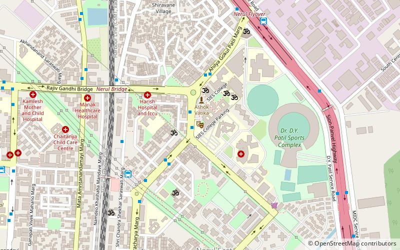
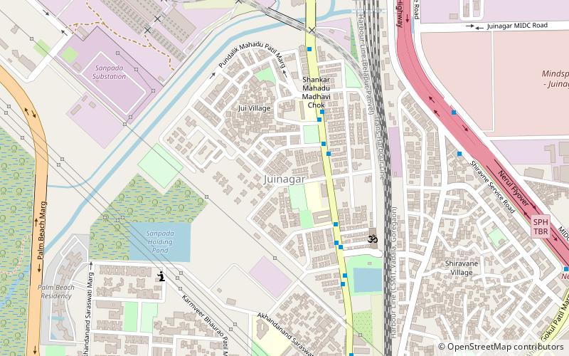
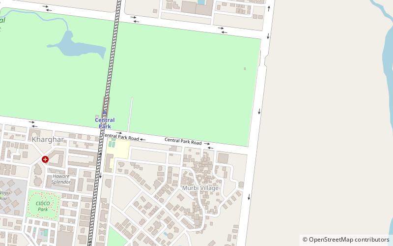
Kharghar is a node of Navi Mumbai and is a suburb under Panvel Municipal Corporation. It is situated at the northernmost tip of Raigad district. It was developed by the City and Industrial Development Corporation. ()
MaharashtraIndia
Kharghar plan & book
Unleash the traveler in you — discover the cheapest flight deals, find the perfect hotel or hostel nearby, and search for the best car rental prices. Travel at your own pace to discover new places and enjoy your journey.
Kharghar – popular in the area (distance from the attraction)
Nearby attractions include: DY Patil Stadium, South Indian Education Society, Nerul, Central Park.
3.6 miWSport venue, Sport, Arenas and stadiumsDY Patil Stadium, Mumbai
92 min walk • The DY Patil Stadium stands as a modern coliseum in the bustling city of Mumbai, India, epitomizing the country's passion for sports. Inaugurated in 2008, this state-of-the-art venue has quickly become a premier location for various sporting events, most notably...
3.8 miWTheaterSouth Indian Education Society, Navi Mumbai
98 min walk • South Indian Education Society, founded 1932, is one of the oldest educational societies in Mumbai. SIES has established a high school, a group of arts, science and commerce colleges, along with academic and professional institutions of higher learning, with altogether, more than 18,000 students.
4.2 miWParkNerul, Mumbai
108 min walk • Nerul is an upmarket residential and commercial node in Navi Mumbai, Maharashtra, India. Nerul is located in the harbour line, trans-harbour lines and Nerul-Uran Line of Mumbai local train network where Kharghar and Vashi are the nearby stations.
0.5 miWPark, Theme park, PlaygroundCentral Park, Mumbai
14 min walk • The Central Park of Kharghar is an urban park in Navi Mumbai, India that covers an area of around 119 hectares spread across the city's sectors 23,24 and 25.
1.1 miWWaterfall, Nature, Natural attractionPandavkada Falls, Mumbai
29 min walk • Pandavkada Falls is a waterfall located Kharghar, a suburb of Navi Mumbai. The waterfall, about 107 metres high is a type of 'plunge' waterfall in nature pouring in massive amounts of water on the rocky surface underneath.
5 miSEAreaPanvel, Mumbai
127 min walk • Panvel is a suburb of Navi Mumbai in Raigad district of Maharashtra, India. It is highly populated due to its closeness to Mumbai. Panvel is also governed for development purpose by the body of Mumbai Metropolitan Region.
4.7 miSWArchaeological siteBelapur Fort, Mumbai
121 min walk • Belapur Fort is a fort near the township of Belapur in Navi Mumbai, Maharashtra, India. The fort was built by the Siddis of Janjira. It was later conquered by the Portuguese, and then Marathas. In the early 19th century, the fort was captured by the British.
1.8 miSW 5.2 miSCity, AreaNew Panvel, Mumbai
134 min walk • New Panvel is a residential, commercial and educational node of Navi Mumbai, Maharashtra and comes under the Konkan division. New Panvel was developed on marshy land and was previously a Mango cultivated area.
3.6 miSWNeighbourhoodCBD Belapur, Mumbai
91 min walk • The Central Business District of Belapur is a node of Navi Mumbai. The Navi Mumbai Municipal Corporation is headquartered in Belapur. The Reserve Bank of India maintains a branch office at CBD Belapur.
4.2 miWNeighbourhoodJuinagar, Navi Mumbai
107 min walk • Juinagar is an area in Navi Mumbai of Maharashtra state in Konkan division. It is also the name of a railway station on the Harbour Line of the Mumbai Suburban Railway.