Juinagar, Navi Mumbai
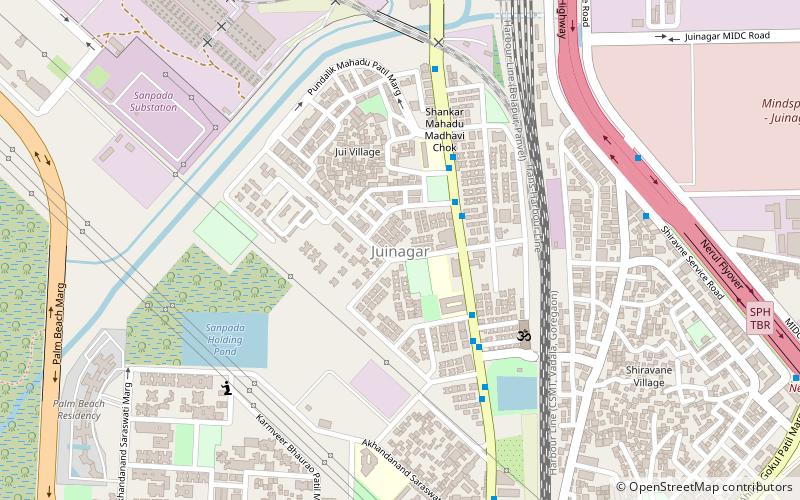
Map
Facts and practical information
Juinagar is an area in Navi Mumbai of Maharashtra state in Konkan division. It is also the name of a railway station on the Harbour Line of the Mumbai Suburban Railway. Railway colony is the biggest colony in Juinagar though much of the residential blocks belong to the CIDCO and a few other private housing societies. The main market is near Sadguru Hotel and Suyog Arcade - which is the most prominent complex in the area. On the whole, Juinagar is a small but self-sufficient township having excellent connectivity to Vashi and Nerul. Of late, the sprawling of a multi-facility hospital named Mangal Prabhu and a new petrol pump at the main market has made life more convenient for the dwellers. ()
Coordinates: 19°2'58"N, 73°0'57"E
Address
Navi Mumbai
ContactAdd
Social media
Add
Getting there by public transportation
Public transportation stops near this location
- Bus
- Train
 Bus
Bus
- Calculate routeJuinagar 12 min walk
- Calculate routeNerul 29 min walk
- Calculate routeSanpada 31 min walk
- Calculate routeVashi 38 min walk
- Calculate routeJuinagar Railway Station 15 min walk
- Calculate routeNerul L.P 16 min walk
- Calculate routeSarsole Bus Station 17 min walk
- Calculate routeNerul Bus Station 18 min walk
Day trips


Frequently Asked Questions (FAQ)
Which popular attractions are close to Juinagar?
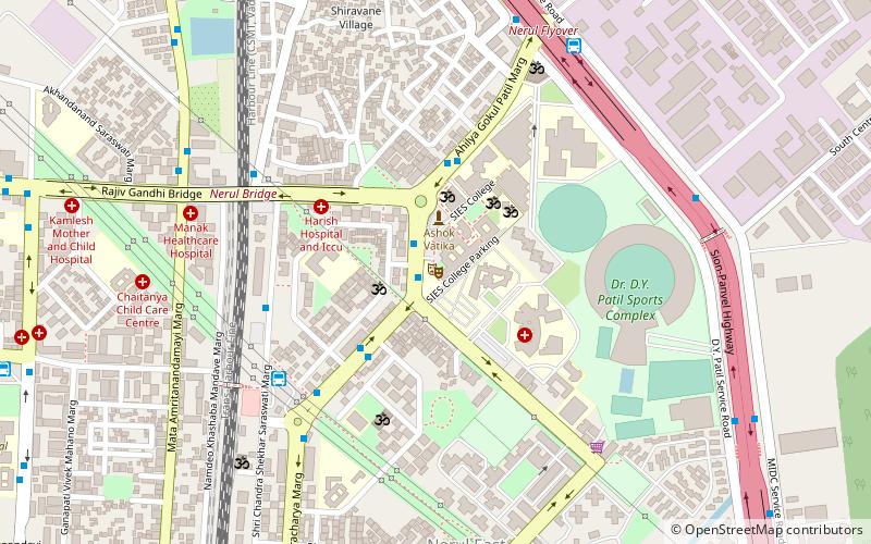
Nearby attractions include South Indian Education Society, Navi Mumbai (18 min walk), DY Patil Stadium, Mumbai (23 min walk).
How to get to Juinagar by public transport?
The nearest stations to Juinagar:
Train
Bus
Train
- Juinagar (12 min walk)
- Nerul (29 min walk)
Bus
- Juinagar Railway Station (15 min walk)
- Nerul L.P (16 min walk)