Nerul, Mumbai
Map
Gallery
Facts and practical information
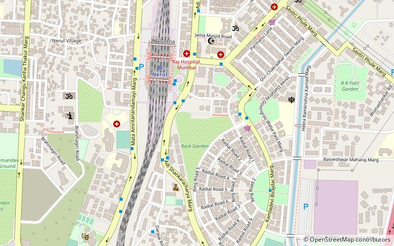
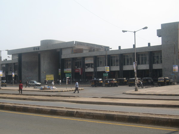
Nerul is an upmarket residential and commercial node in Navi Mumbai, Maharashtra, India. Nerul is located in the Harbour Line, Trans-Harbour Lines and Nerul-Uran Line of Mumbai local train network where Kharghar and Vashi are the nearby stations. Nerul node is also famous for its parallelly running Palm-Beach Marg. Nerul is quite famous for it Gardens like Rock Garden & state of the art building structures. ()
Elevation: 62 ft a.s.l.Coordinates: 19°1'53"N, 73°1'11"E
Day trips
Nerul – popular in the area (distance from the attraction)
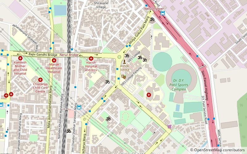
Nearby attractions include: DY Patil Stadium, South Indian Education Society, Central Park, Pandavkada Falls.
Frequently Asked Questions (FAQ)
Which popular attractions are close to Nerul?
Nearby attractions include South Indian Education Society, Navi Mumbai (20 min walk), DY Patil Stadium, Mumbai (22 min walk).
How to get to Nerul by public transport?
The nearest stations to Nerul:
Train
Bus
Train
- Nerul (5 min walk)
- Seawoods (17 min walk)
Bus
- Nerul Bus Station (16 min walk)
- Sarsole Bus Station (19 min walk)


