South West Delhi district, Delhi
Map
Facts and practical information
South West Delhi is one of the eleven administrative districts of the National Capital Territory of Delhi in India. Kapashera serves as the administrative headquarters of South West Delhi. ()
Address
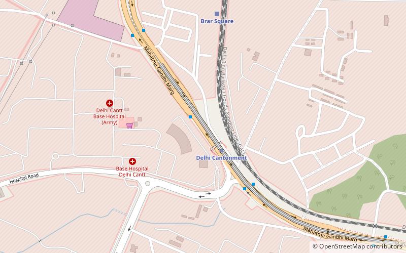
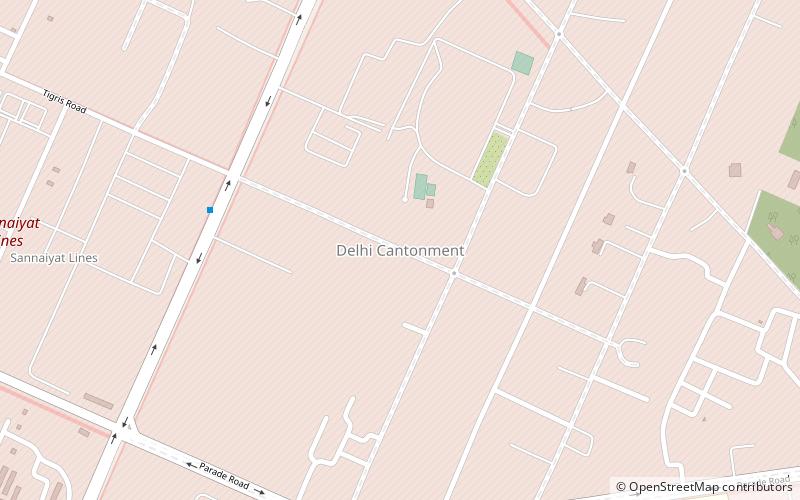
New Delhi (Delhi Cantt)Delhi
ContactAdd
Social media
Add
Getting there by public transportation
Public transportation stops near this location
- Metro
- Bus
- Train
 Metro
Metro
- Calculate routeBarar Square 6 min walk
- Calculate routeCod 8 min walk
- Calculate routeDelhi Cantonment 2 min walk
- Calculate routeNaraina Vihar 27 min walk
- Calculate routeBrar Square 8 min walk
Maps Metro
Metro
MetroDay trips


Frequently Asked Questions (FAQ)
Which popular attractions are close to South West Delhi district?
Nearby attractions include South East Delhi district, Delhi (1 min walk), Delhi/Central Delhi, Delhi (10 min walk), Delhi War Cemetery, Delhi (16 min walk).
How to get to South West Delhi district by public transport?
The nearest stations to South West Delhi district:
Bus
Metro
Train
Bus
- Barar Square • Lines: (-) Tms, (+) Tms, 448, 448A, 479A (6 min walk)
- Cod • Lines: (-) Tms, 448, 448A, 479A (8 min walk)
Metro
- Delhi Cantonment • Lines: Pink Line (2 min walk)
- Naraina Vihar • Lines: Pink Line (27 min walk)
Train
- Brar Square (8 min walk)