Navi Mumbai, Mumbai

Gallery (1)
Map
Map
Facts and practical information
Navi Mumbai (Marathi pronunciation:, is a planned city situated on the west coast of the Indian subcontinent, lies in Konkan division of Maharashtra state, on the mainland of India. Navi Mumbai is part of the Mumbai Metropolitan Region. The city is divided into two, North Navi Mumbai and South Navi Mumbai, for the individual development of Panvel Mega City, which includes the area from Kharghar to Uran, including Taloja node. Navi Mumbai has a population of 1,119,477 as per the 2011 provisional census. It has an average city elevation of 14 meters, excluding forest area. ()
Getting there by public transportation
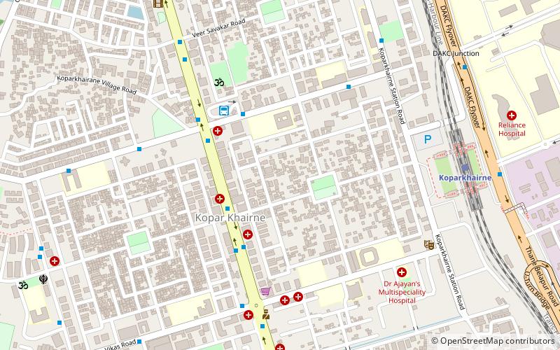
Public transportation stops near this location
- Bus
- Train
 Bus
Bus
- Calculate routeKoparkhairane NMMT Bus Station 5 min walk
- Calculate routeKoparkhairne 10 min walk
- Calculate routeGhansoli 24 min walk
Day trips


Frequently Asked Questions (FAQ)
How to get to Navi Mumbai by public transport?
The nearest stations to Navi Mumbai:
Bus
Train
Bus
- Koparkhairane NMMT Bus Station (5 min walk)
Train
- Koparkhairne (10 min walk)
- Ghansoli (24 min walk)