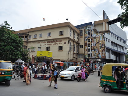
Agarpara, Kolkata
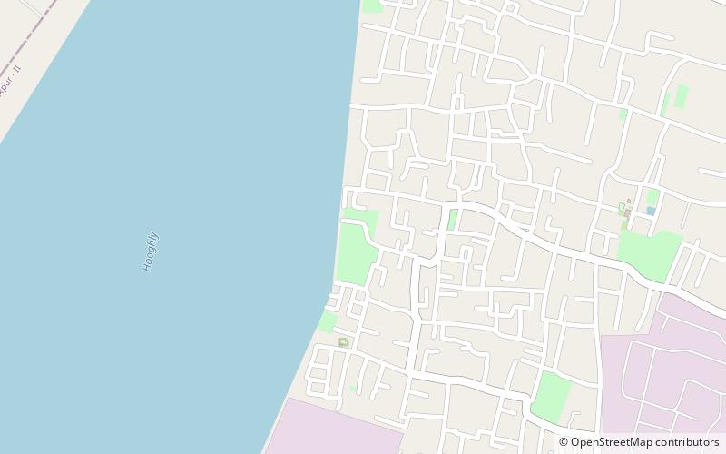
Map
Facts and practical information
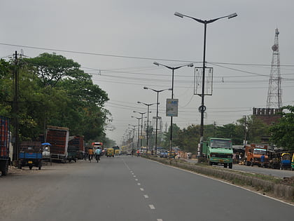
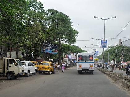
Agarpara is a locality in Panihati Municipality of North 24 Parganas district in the Indian state of West Bengal. It is close to Kolkata and also a part of the area covered by Kolkata Metropolitan Development Authority.Agarpara has two pincode area -700058,700109 ()
Area: 7.48 mi²Coordinates: 22°40'60"N, 88°22'0"E
Address
Kolkata
ContactAdd
Social media
Add
Day trips
Agarpara – popular in the area (distance from the attraction)
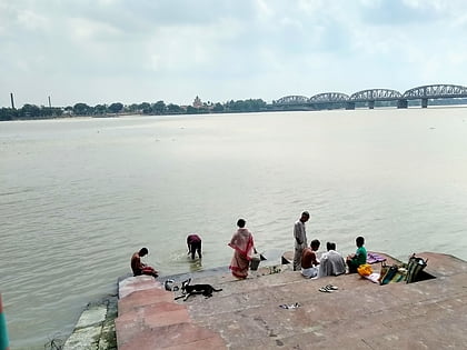
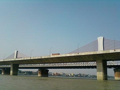
Nearby attractions include: Dakshineswar Kali Temple, Vivekananda Setu, Panihati, Uttarpara.
Frequently Asked Questions (FAQ)
How to get to Agarpara by public transport?
The nearest stations to Agarpara:
Train
Train
- Sodpur (39 min walk)


