Kamothe, Navi Mumbai

Map
Facts and practical information
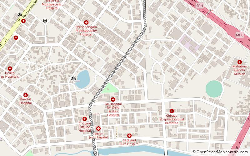
Kamothe is a node of Navi Mumbai which is developed and maintained by CIDCO. Kamothe is located on the Sion Panvel Highway. It is the third node after Panvel and Kalamboli towards Mumbai. ()
Coordinates: 19°1'0"N, 73°5'47"E
Address
Navi Mumbai
ContactAdd
Social media
Add
Day trips
Kamothe – popular in the area (distance from the attraction)
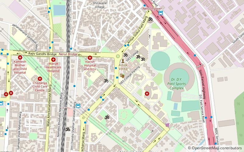
Nearby attractions include: DY Patil Stadium, South Indian Education Society, Nerul, Central Park.
Frequently Asked Questions (FAQ)
How to get to Kamothe by public transport?
The nearest stations to Kamothe:
Train
Bus
Train
- Khandeshwar (17 min walk)
- Mansarovar (27 min walk)
Bus
- Asudgaon Bus Depot (21 min walk)
- Kalamboli Bus Depot (21 min walk)


